Experimental ‘cone of uncertainty’ gets real-time test with Francine. Here’s what’s new
READ MORE
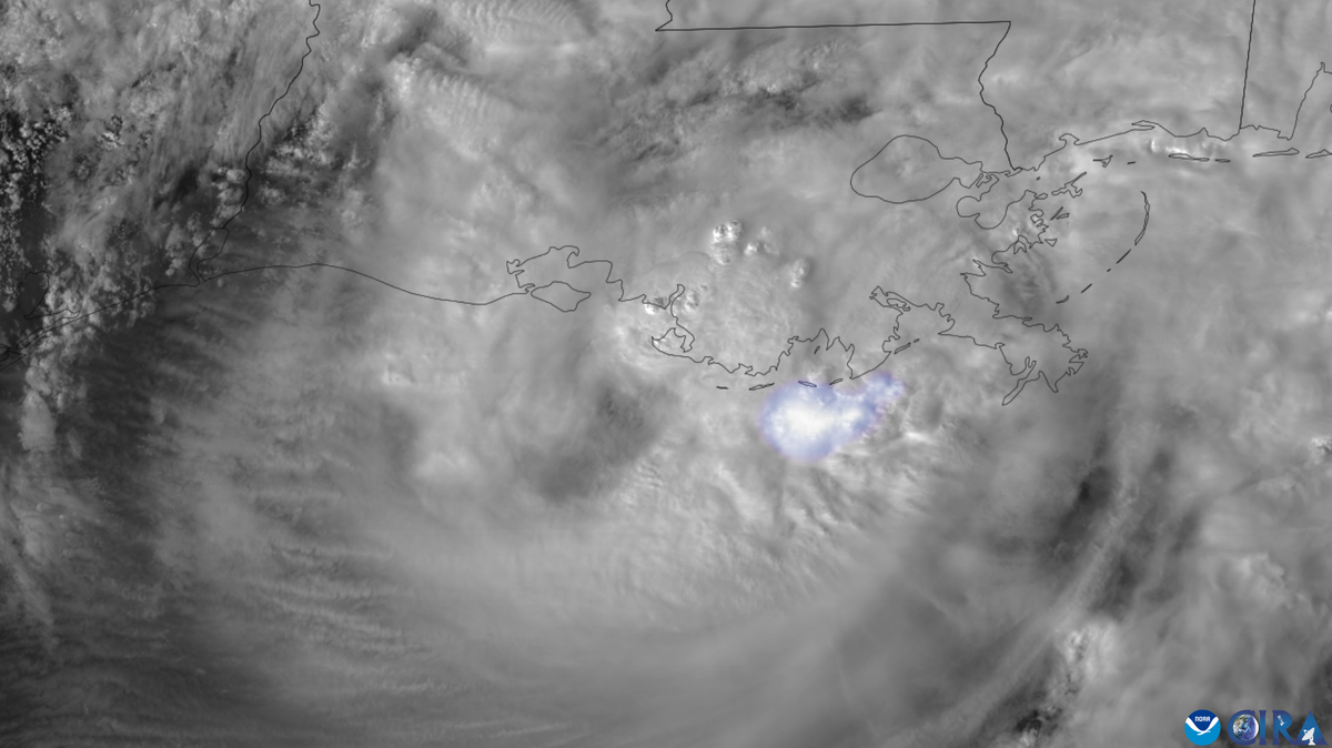
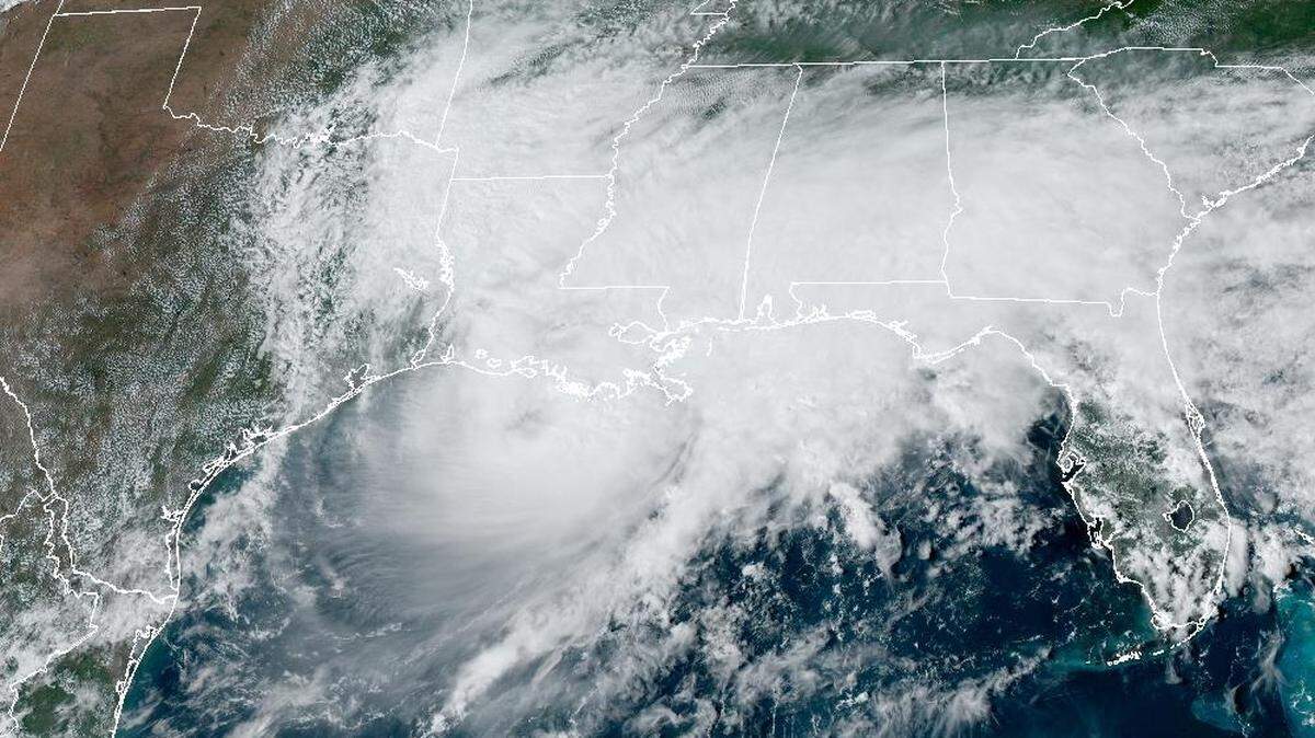
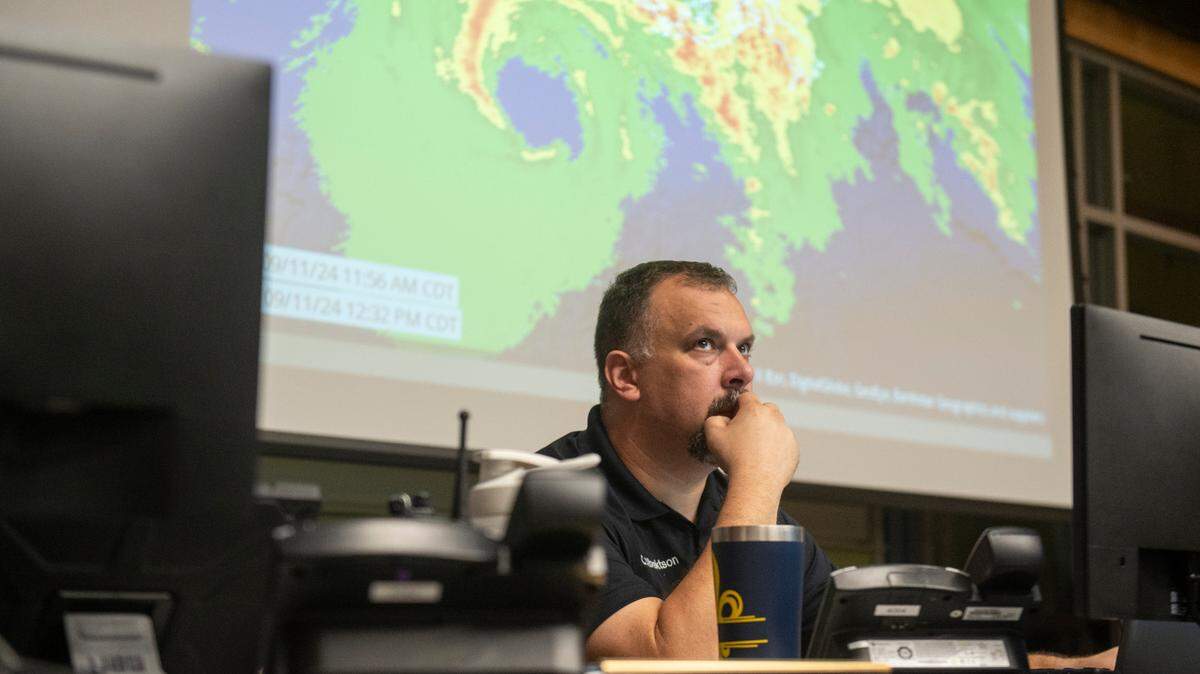
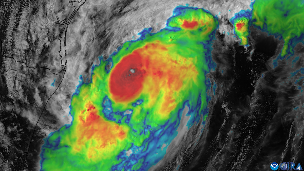
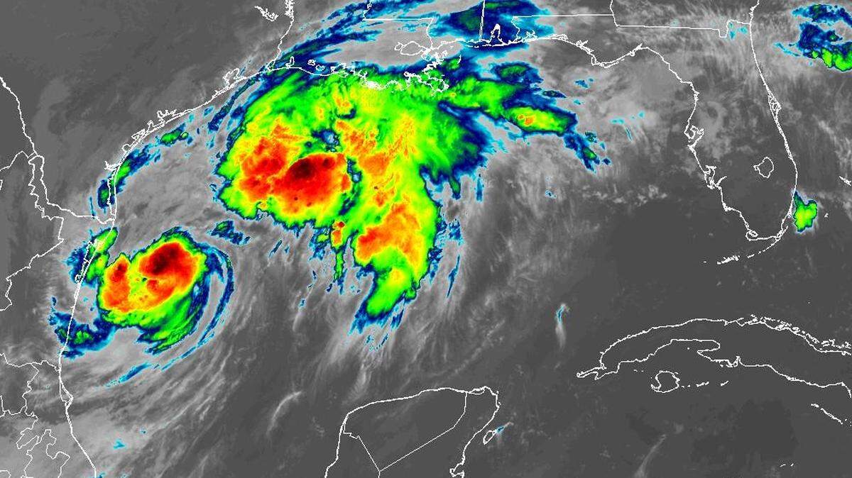
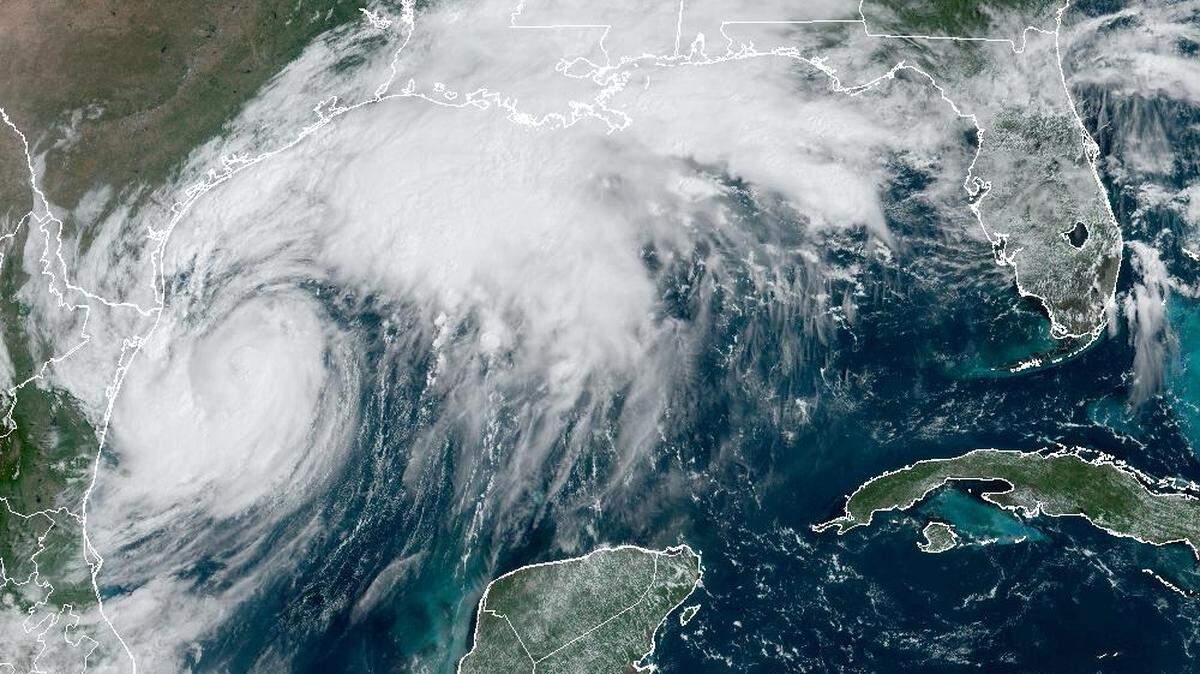
Hurricane Francine
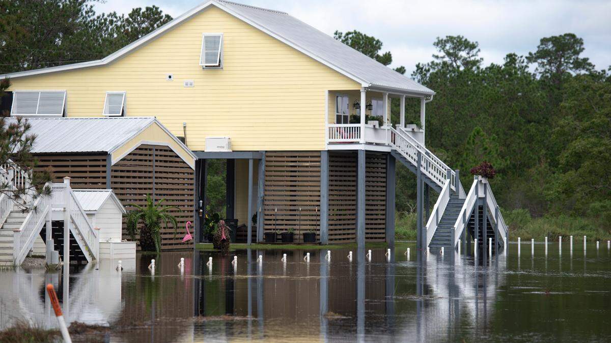
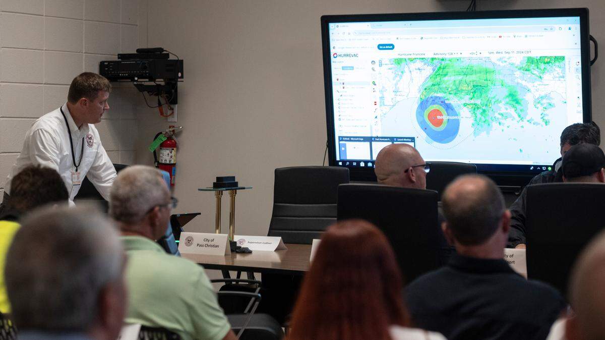
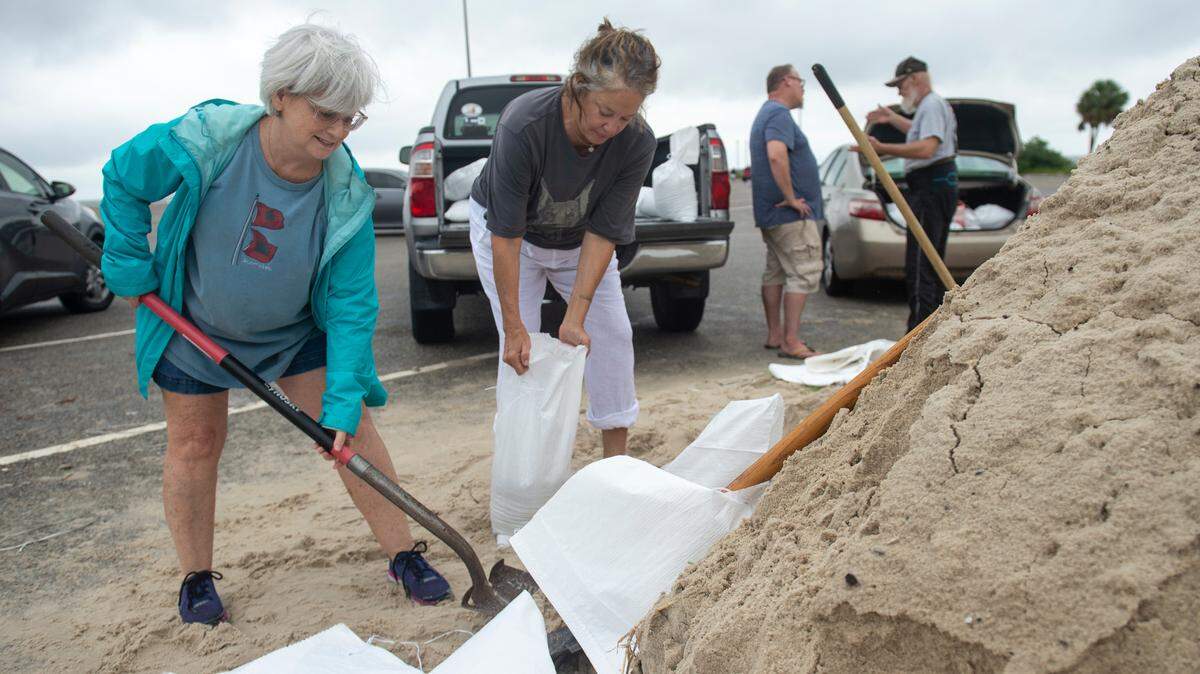
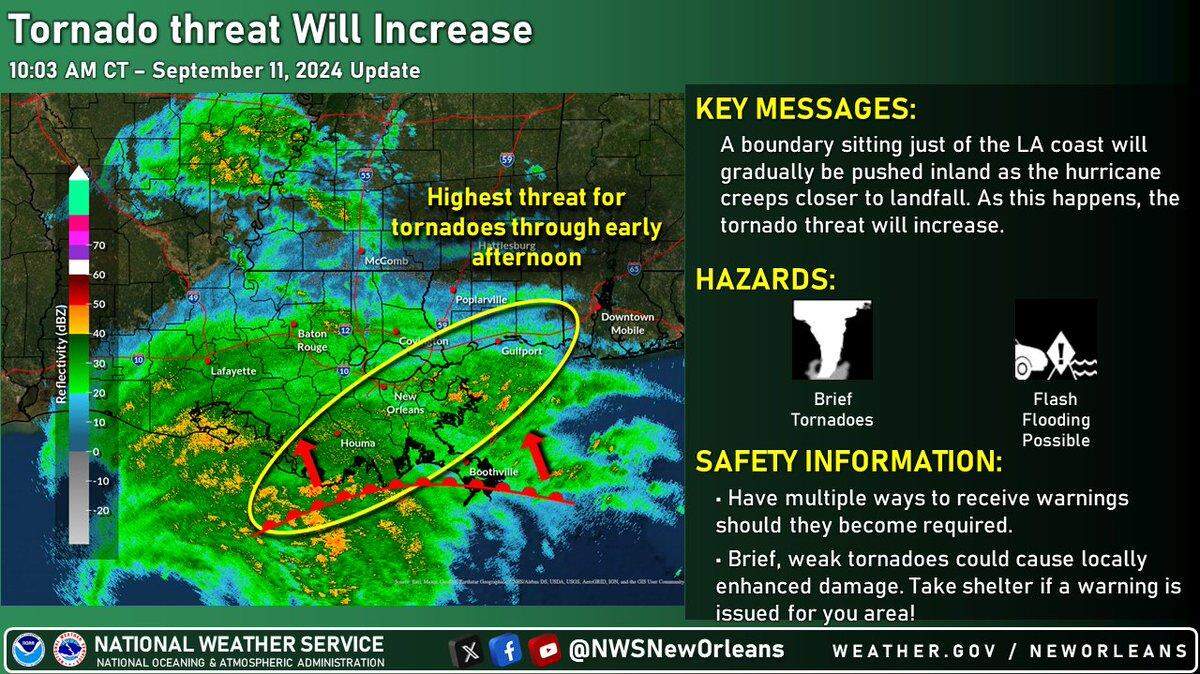
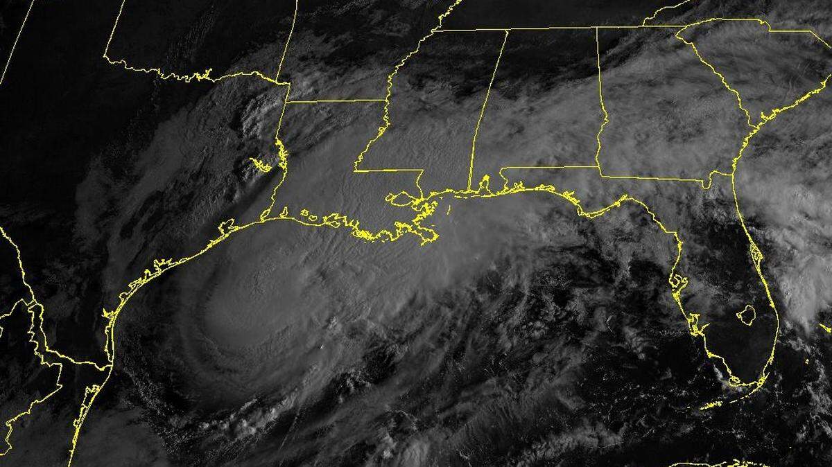
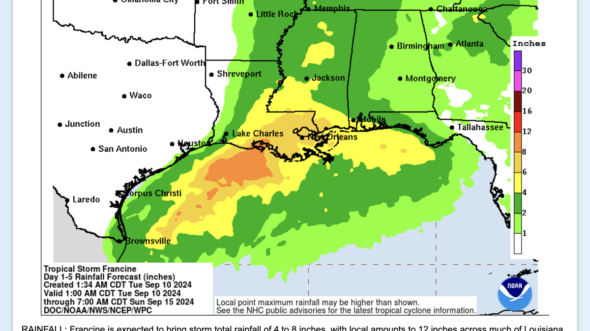
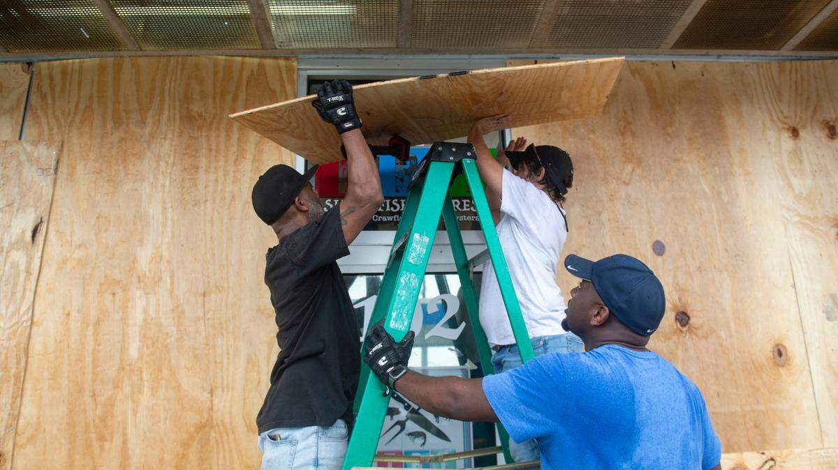
Francine is expected to make landfall Wednesday as a Category 1 hurricane. While the storm appears headed to the Louisiana coast, Southern and coastal Mississippi could see a risk of flash flooding, according to the National Weather Service.
Expand All
NOTE: This story has been made available for free, for all readers. Please consider supporting local journalism through the purchase of a digital subscription.
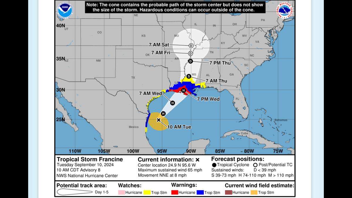
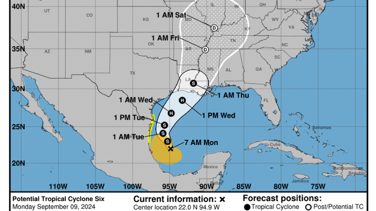
The National Hurricane Center’s much-publicized new cone of uncertainty is in use for Tropical Storm Francine, looking much like the old cone of uncertainty but with a major twist.
The dreaded cone of uncertainty that shows a hurricane’s potential path has added watches and warnings for inland areas, where the old version showed those hazards only along the affected coastline. Also, the experimental cone is shaded in white for the five-day forecast, while the old cone had stippling for days 4-5.
“Recommendations from social science research suggest that the addition of inland watches and warnings to the cone graphic will help communicate inland wind risk during tropical cyclone events while not overcomplicating the current version of the graphic with too many data layers,” the National Hurricane Center’s website says.
The old cone still shows up on the hurricane center’s landing page for Francine, but clicking on the bright red type “for the new experimental cone” links to a page with the new cone image.
The new cone shows the usual warnings: in Francine’s case, a hurricane warning along Louisiana’s coastline and a tropical storm warning for Mississippi’s coast. The experimental cone adds an inland tropical storm warning for Mississippi and Louisiana, and a tropical storm watch for east central Mississippi. Warning conditions are likely to occur within 36 hours, while watch conditions are expected in 48 hours.
The hurricane center notes that the cone is experimental because it must still go through a public comment period. Weather watchers can comment here on the new cone.
An evaluation incorporating comments will determine whether the new cone, possibly with suggested changes, becomes a standard part of the operational system.
The current cone graphic will continue to be available without display changes. The hurricane center first rolled out the cone of uncertainty on its website in 2002.
This story was originally published September 10, 2024 at 12:58 PM.