Francine to soak MS Coast with record-breaking moisture in air. How much rain will fall?

READ MORE
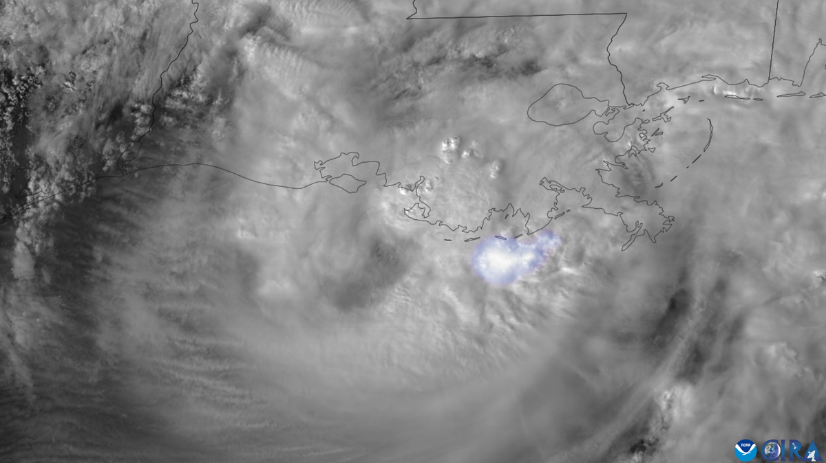
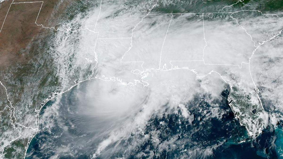
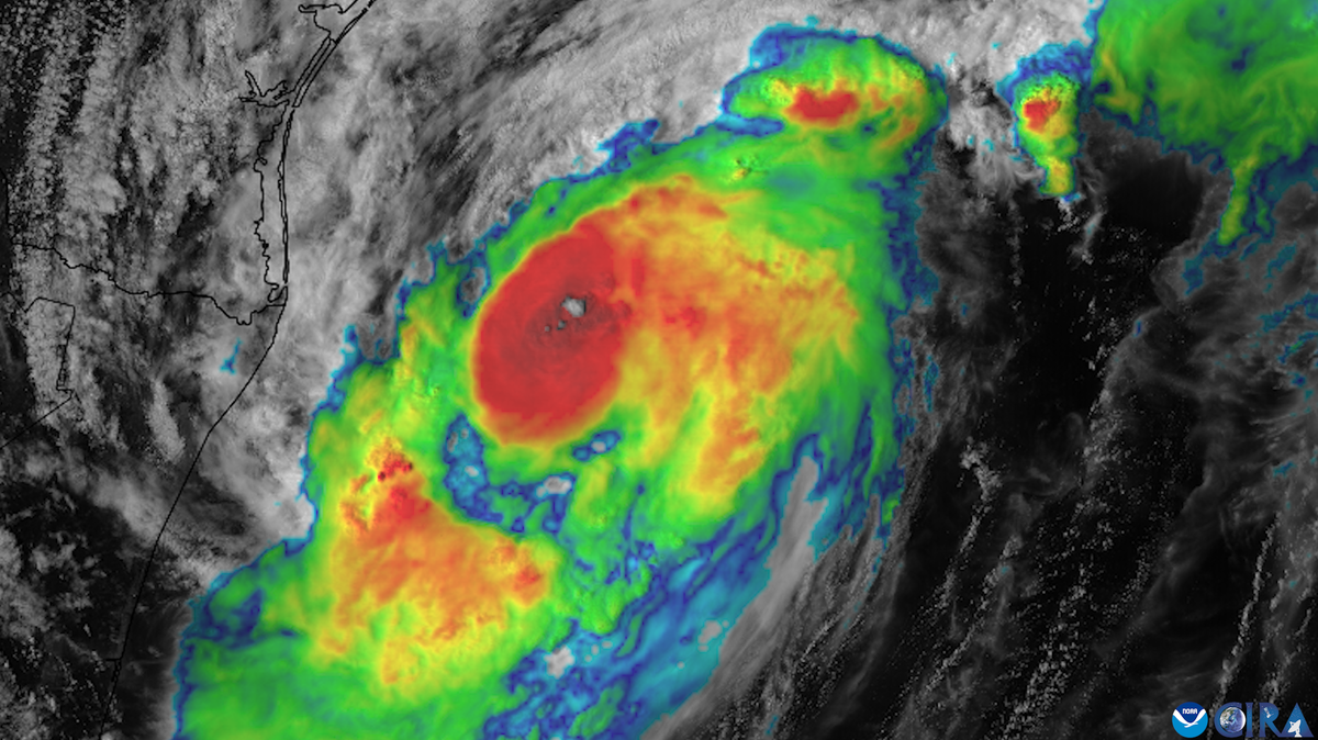
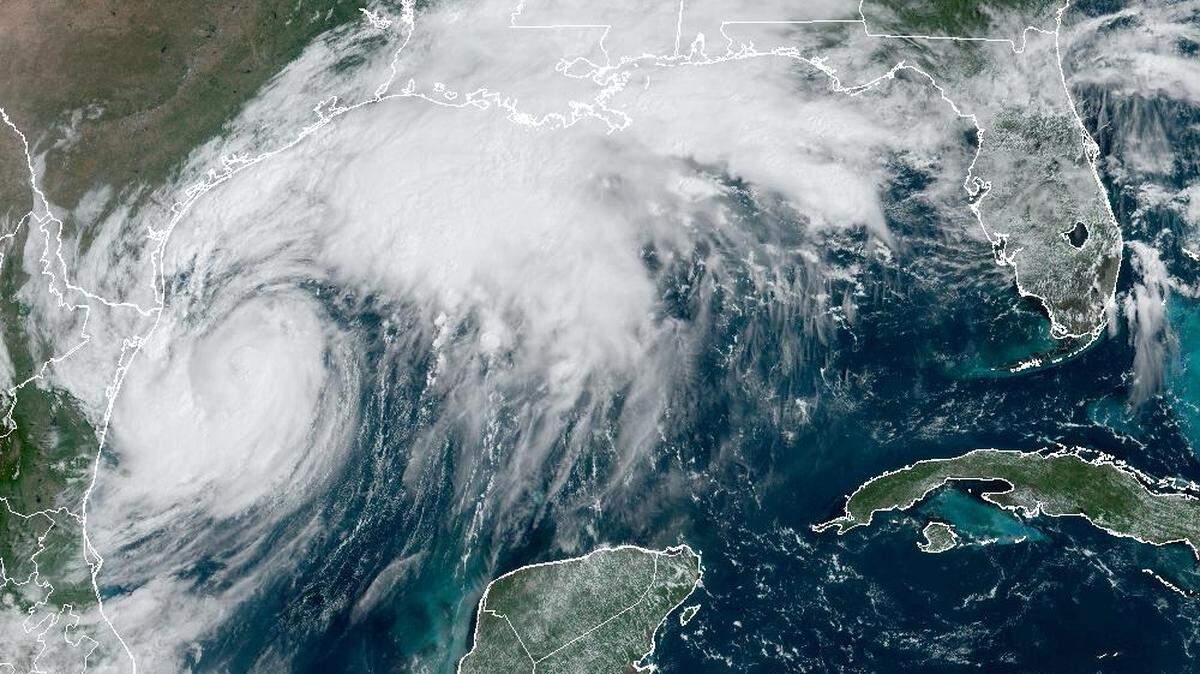
Hurricane Francine
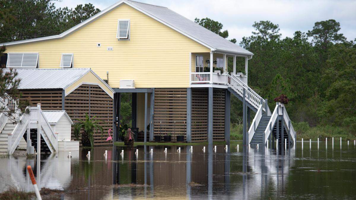
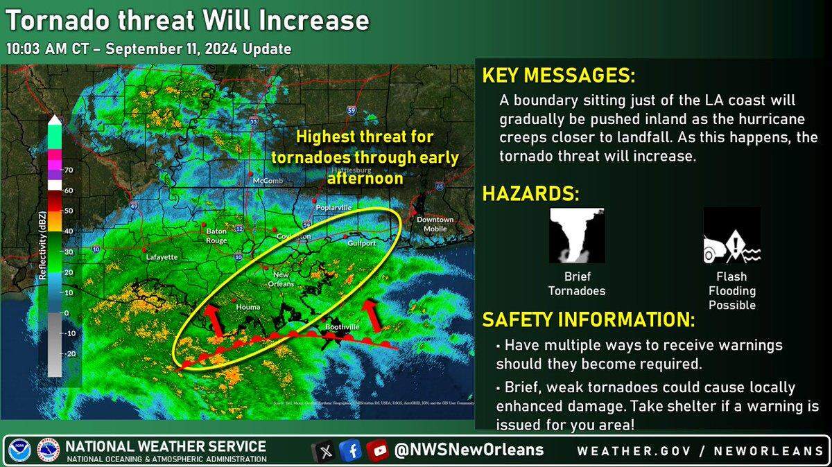
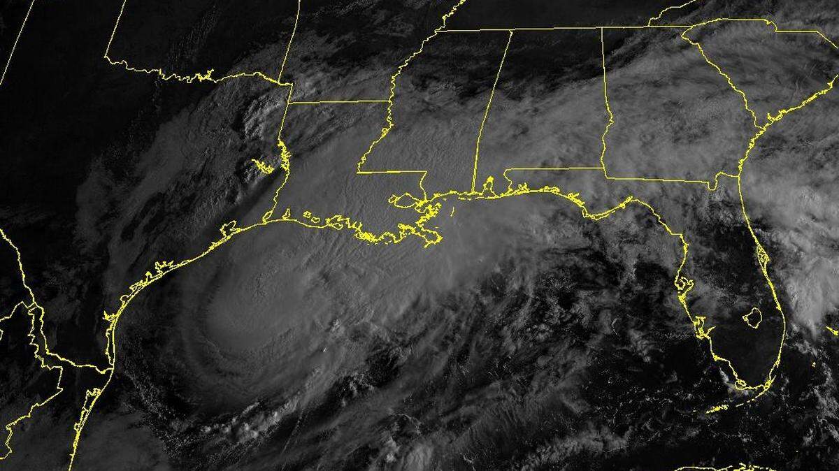
Francine is expected to make landfall Wednesday as a Category 1 hurricane. While the storm appears headed to the Louisiana coast, Southern and coastal Mississippi could see a risk of flash flooding, according to the National Weather Service.
Expand All
NOTE: This story has been made available for free, for all readers. Please consider supporting local journalism through the purchase of a digital subscription.
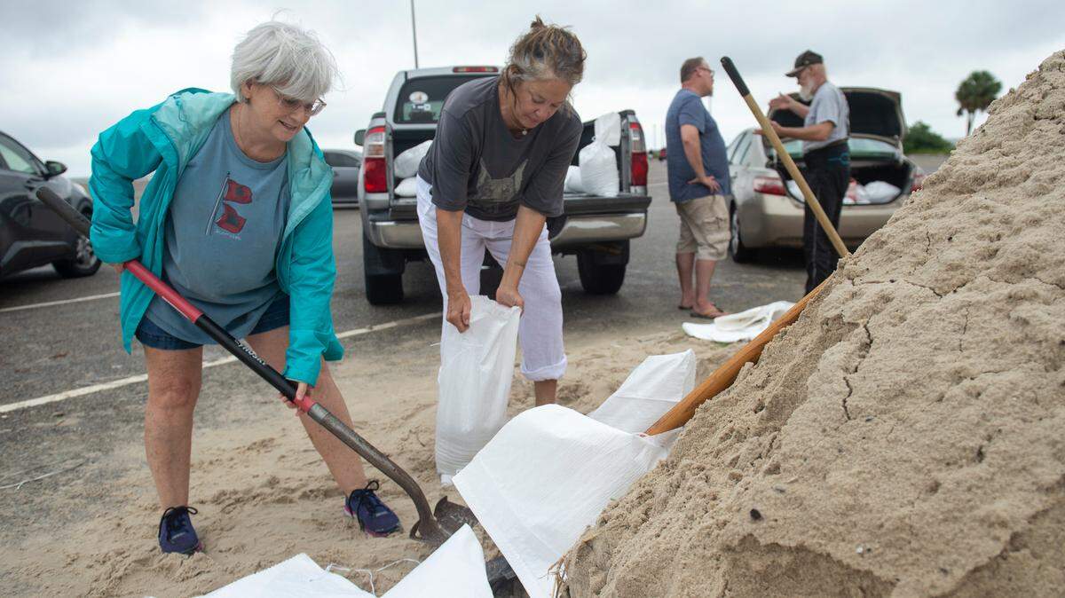
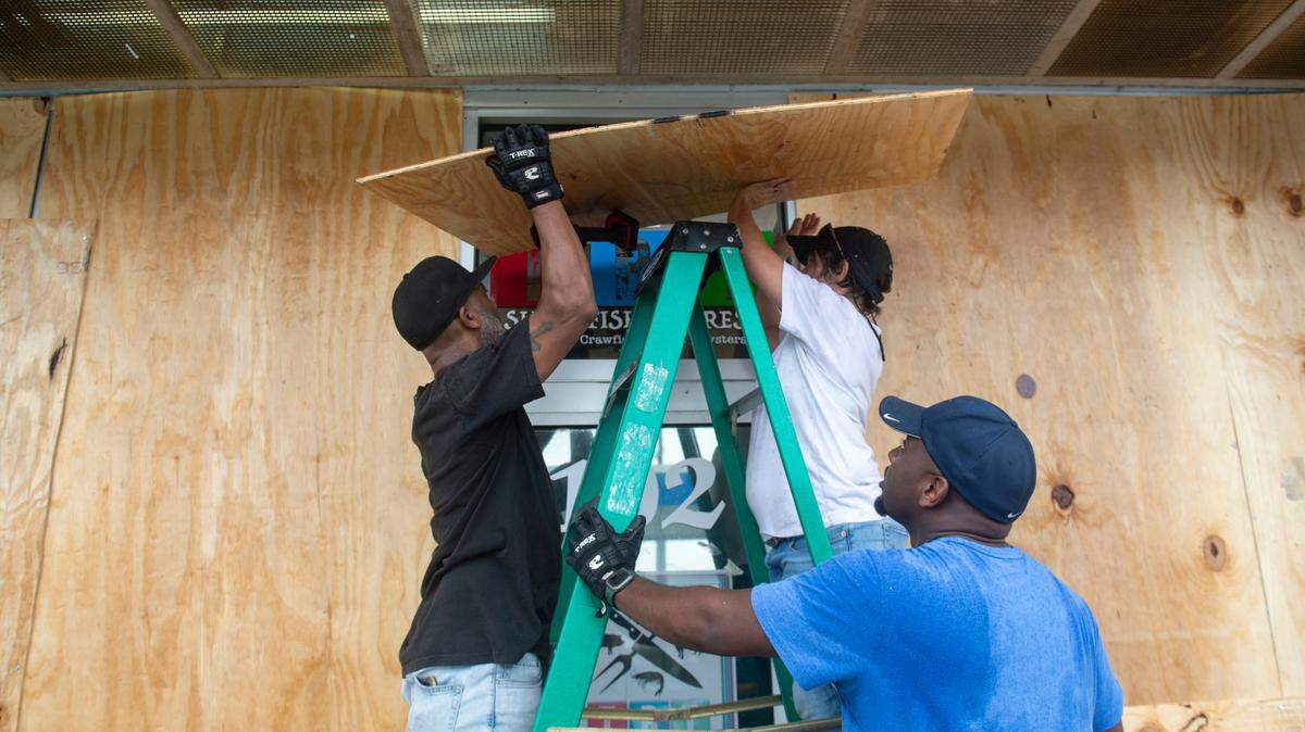
As hurricanes go, Francine is expected to be a soaker for South Mississippi.
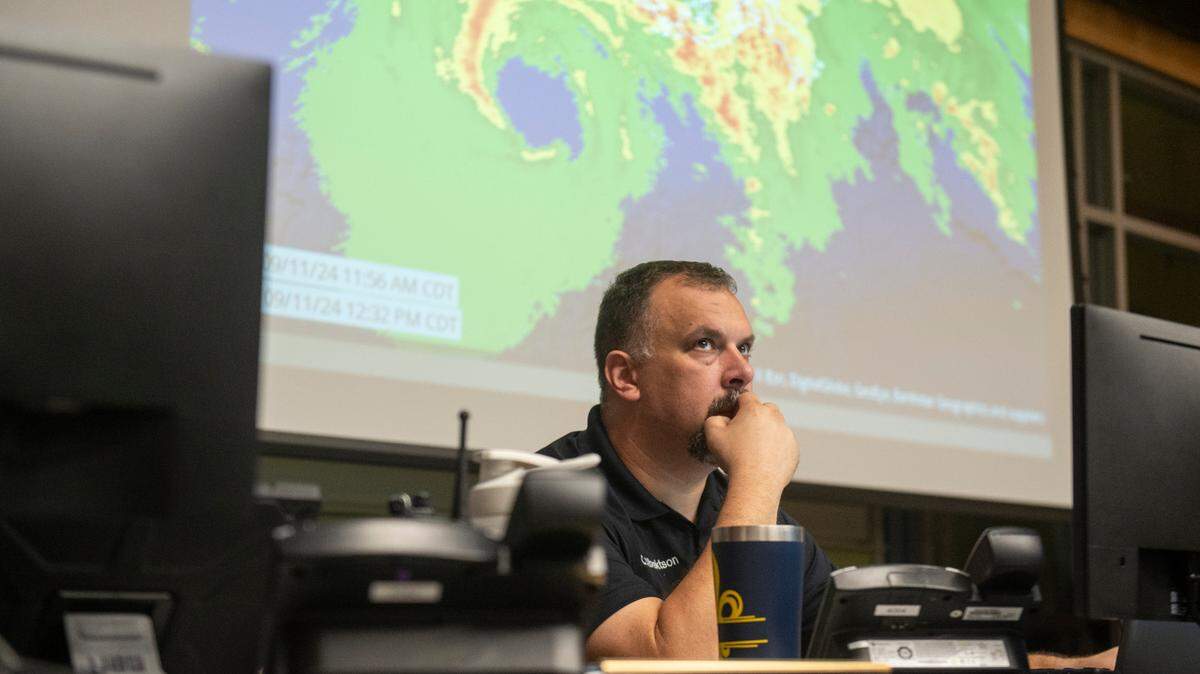
The Mississippi Coast was seeing a steady rain Tuesday morning, but Matt Stratton, Harrison County’s emergency management director, said, “That’s just the appetizer.”
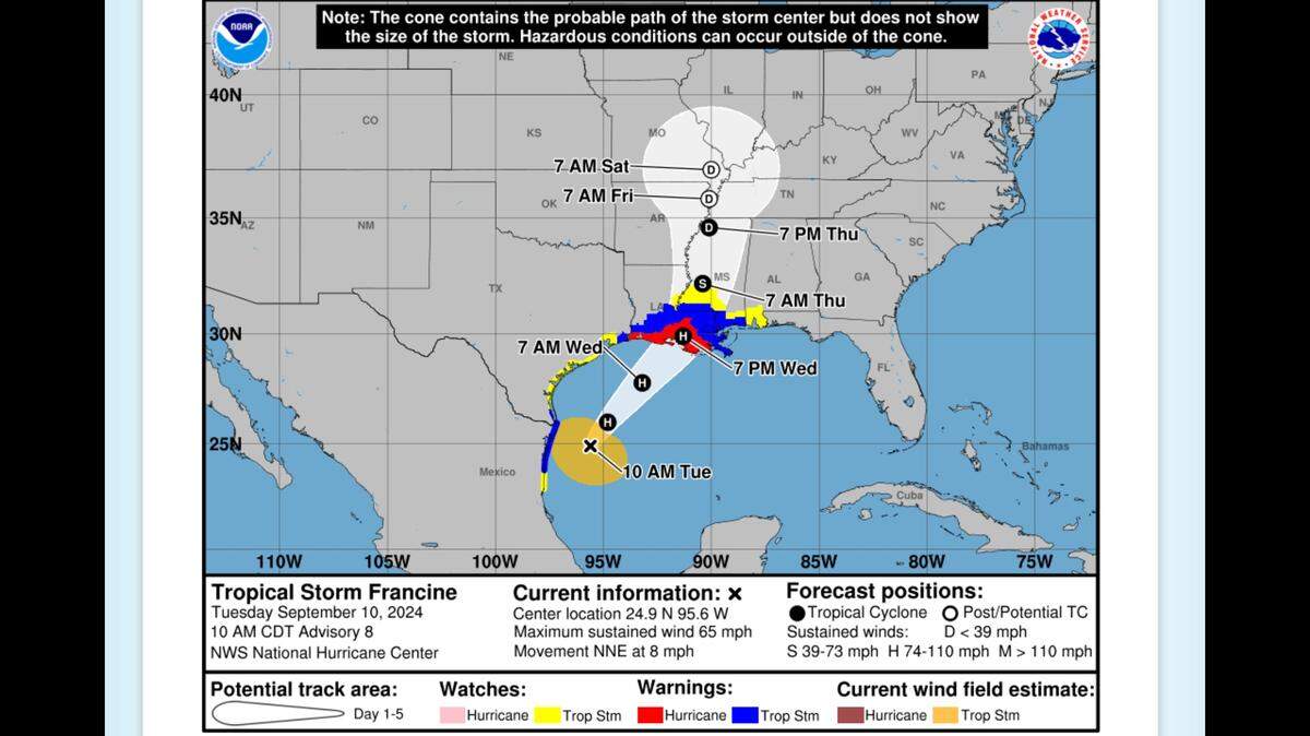
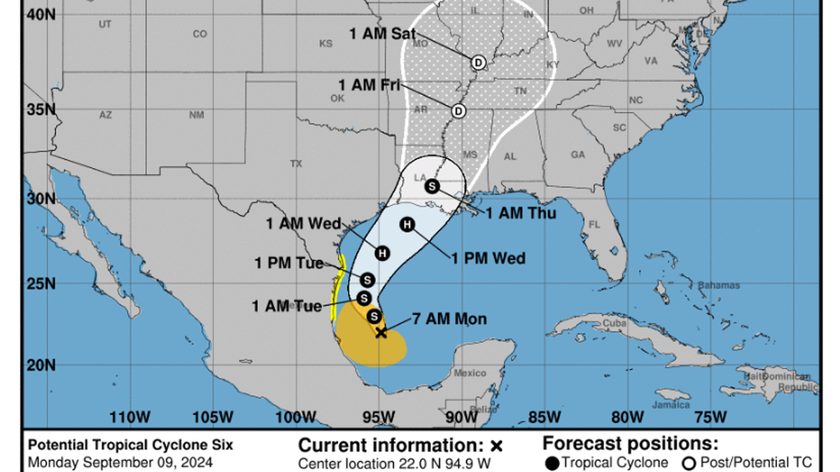
The National Hurricane Center is forecasting rainfall of up to 12 inches in some places along the Mississippi coastline. Francine is forecast to make landfall Wednesday afternoon or evening as a hurricane in Louisiana.
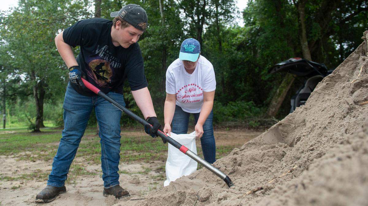
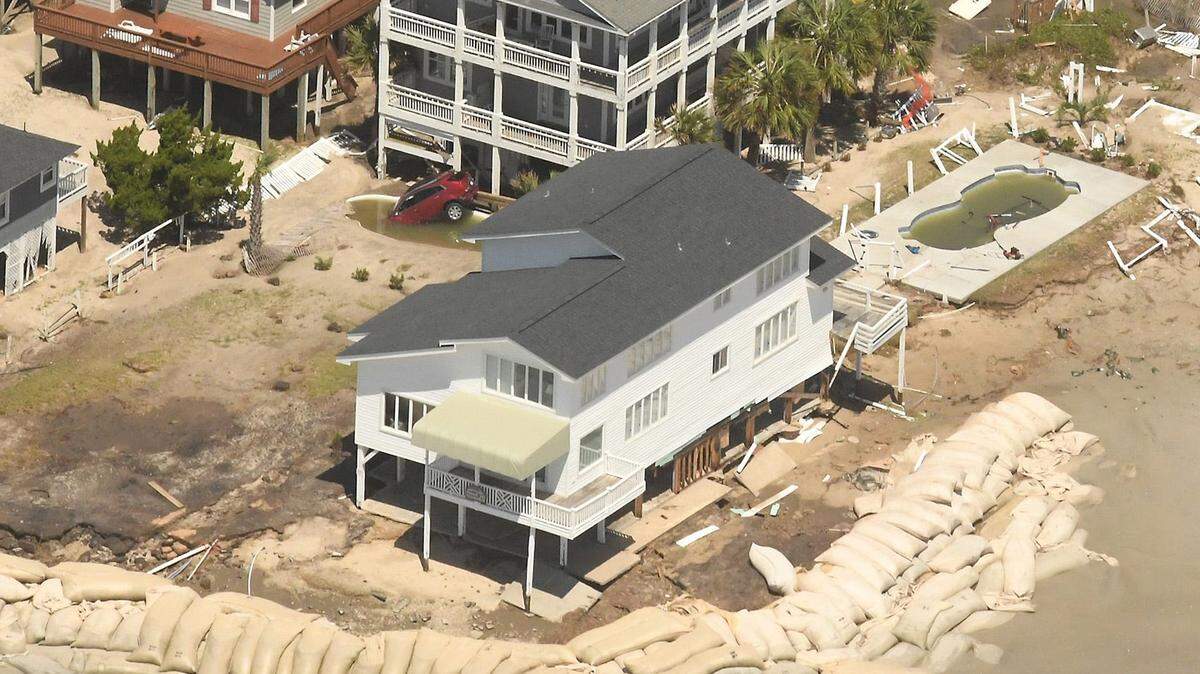
Mississippi’s coastal counties were put under storm-surge and tropical storm warnings Tuesday morning, meaning life-threatening inundation and strong winds could arrive within the next 36 hours. Storm-surge is expected to be 2-4 feet, with up to 6 feet of surge in some areas.
Rainfall totals should generally fall within the range of 4-8 inches across much of Mississippi and Louisiana through Friday morning, the hurricane center says.
“This rainfall could lead to considerable flash and urban flooding,” the hurricane center warns.

Timing of Francine’s rainfall
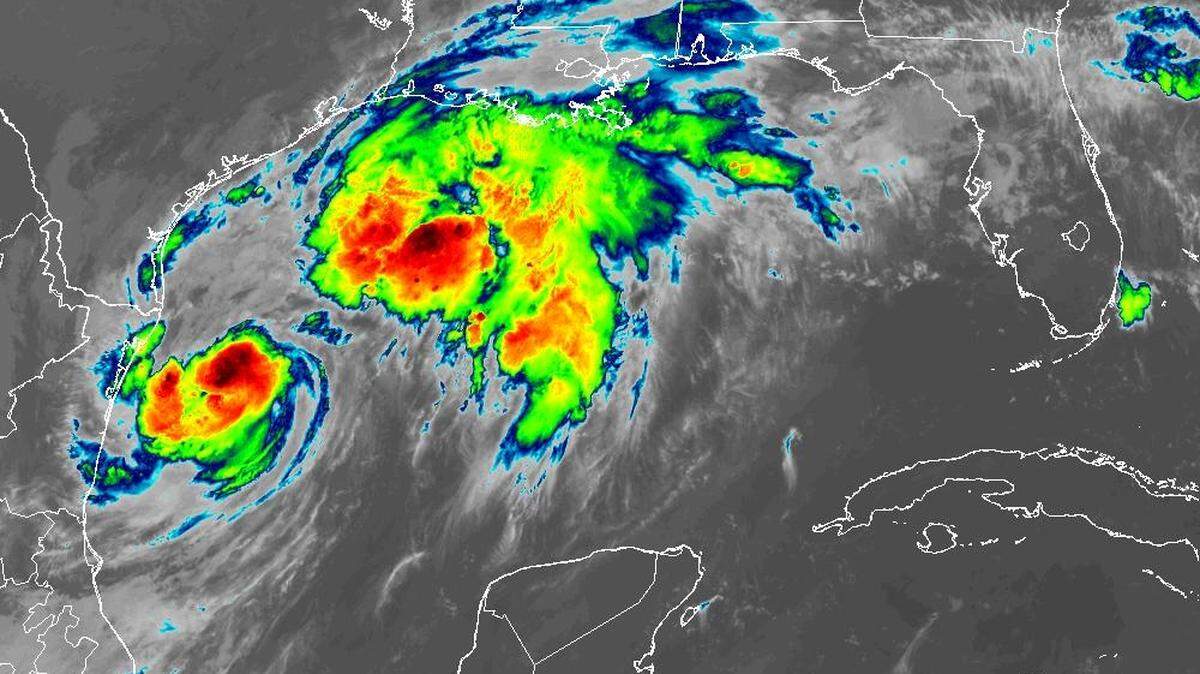
Meteorologist Ben Noll of the National Institute of Water & Atmospheric Research in New Zealand, said on Twitter that Francine is set to be a record-breaker, moisture-wise.
“Likely stemming from record high oceanic heat content in the Gulf of Mexico and similar to Hurricane Debby in August, Francine is forecast to come with record-breaking precipitable water values,” he wrote, citing the forecast from one of the hurricane models, the ECMWF. Percipitable water indicates how much moisture the atmosphere is holding.
“Precipitable water helps forecasters understand how much moisture is contained in a column of air, from the ground all the way to the top of the atmosphere,” Noll said. “This weather variable has shown a sharp increasing trend, especially in the last two years.
“With Francine, southern Louisiana may experience precipitable water values in excess of 4 inches while western Mississippi could reach 3.5 inches, which would add a new swath of records to this map later this week.”
Values above 3.5 inches in Mississippi, he said, would break September records.
“Overall,” Noll concluded, “this speaks to the overwhelmingly moist nature of the atmosphere with Francine and the seriousness of the flood threat in the days ahead.”
Stratton said that thunderstorms are expected to efficiently convert to rain the water vapor contained in the warm, tropical air.
The potential for flash-flooding along the Mississippi Coast is at least 40%, with the exception of the extreme southeastern portion of Jackson County, where the threat is lower.
Rainfall is expected to increase as the day progresses Wednesday, he said, and continue to be heavy at times through Thursday morning. The forecast calls for 6-8 inches of rain in Hancock and western Harrison County, he said. Jackson County should see 4-6 inches of rain.

This story was originally published September 10, 2024 at 9:01 AM.