Francine makes landfall as Category 2 hurricane in LA. South MS braces for wind, surge
READ MORE
Hurricane Francine
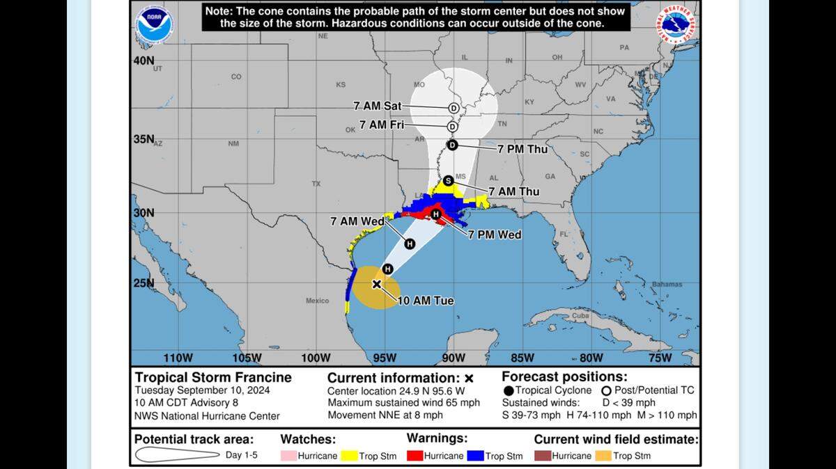
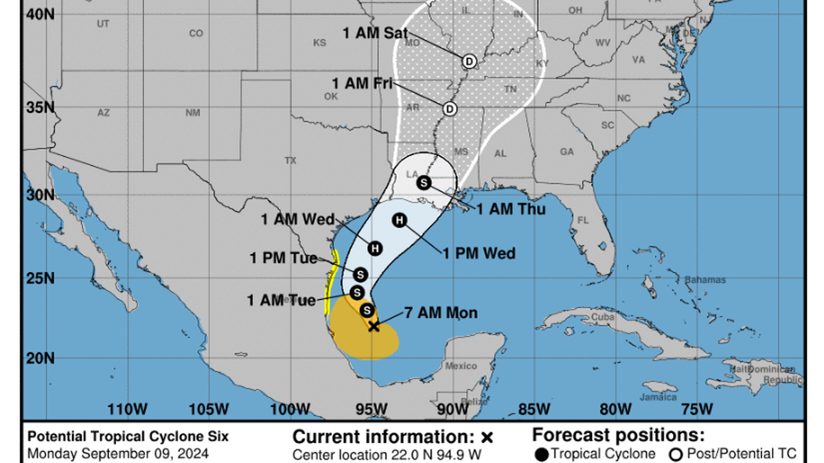
Francine is expected to make landfall Wednesday as a Category 1 hurricane. While the storm appears headed to the Louisiana coast, Southern and coastal Mississippi could see a risk of flash flooding, according to the National Weather Service.
Expand All
NOTE: This story has been made available for free, for all readers. Please consider supporting local journalism through the purchase of a digital subscription.
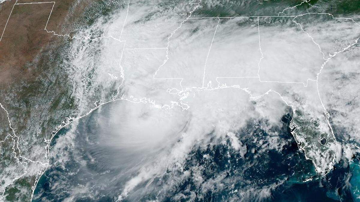
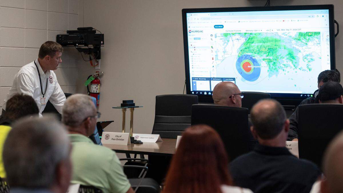
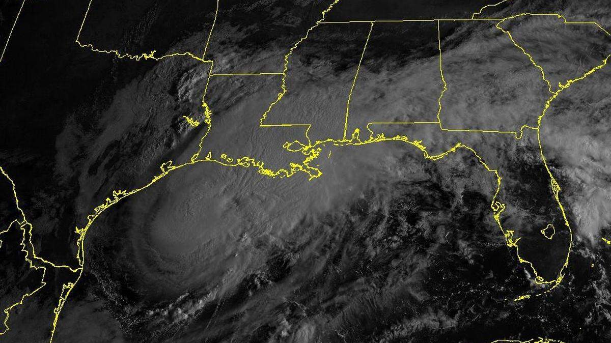
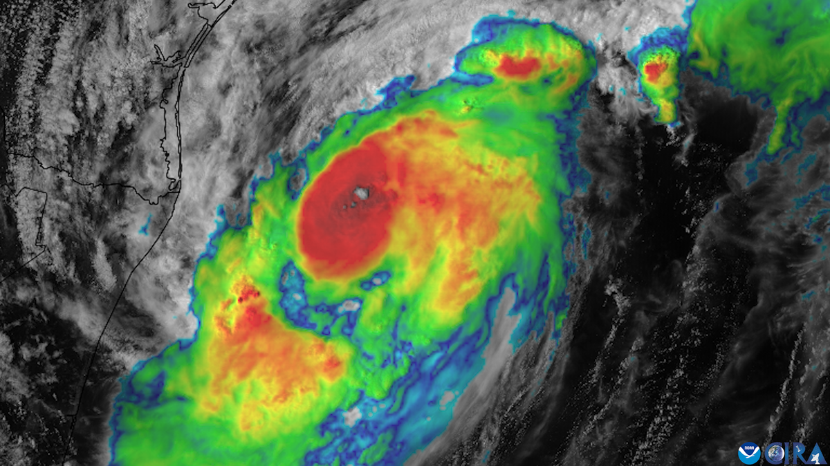
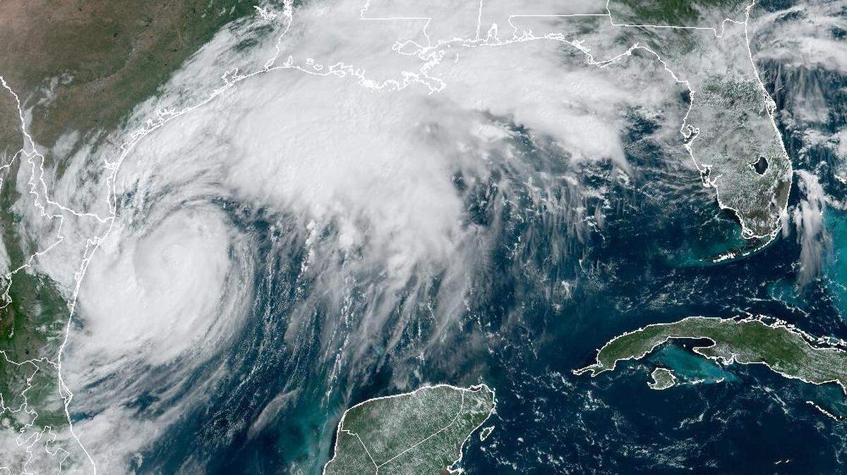
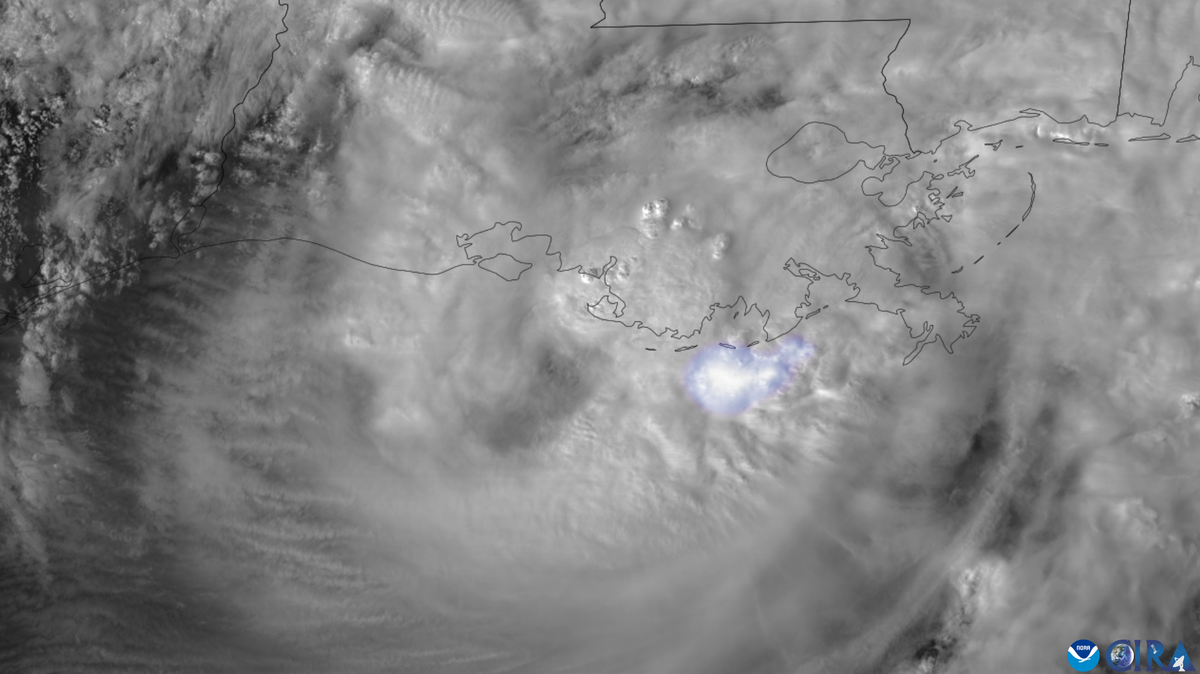
Hurricane Francine made landfall around 5:10 p.m. south Louisiana as a Category 2 hurricane, slamming ashore in Terrebone Parish, Louisiana, just about 30 miles from Morgan City.
The National Hurricane Center said maximum sustained winds are 100 mph, with a peak gust of 105 mph reported at a station on Eugene Island in Atchafalaya Bay.
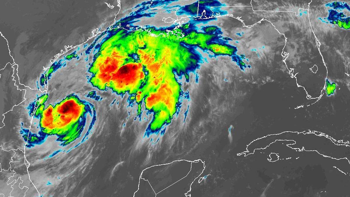
The hurricane’s winds and heavy rain were fanning out inland and expected to reach South Mississippi around 8 p.m.
Francine’s minimum central pressure was 976 millibars at landfall.
The hurricane center will have another update on the storm at 6 p.m.
South Mississippi is outside Francine’s “cone of uncertainty” and is expected to avoid the worst of the storm.
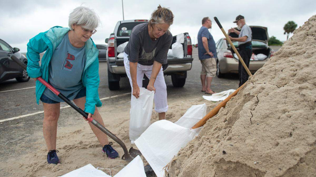
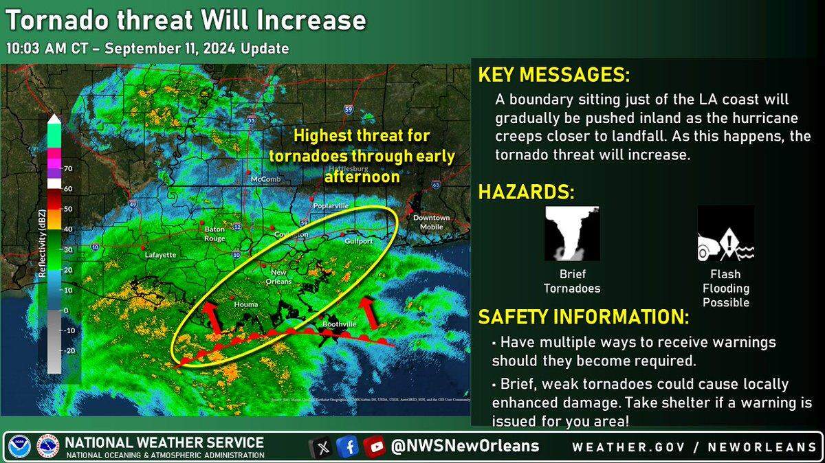
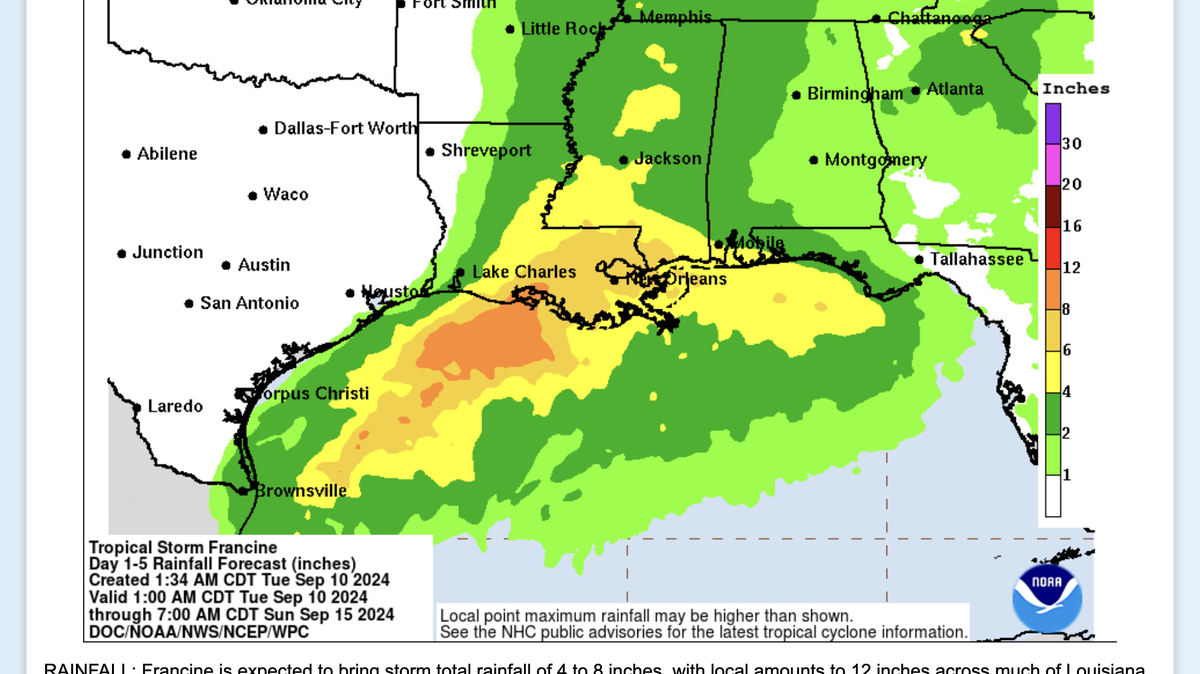
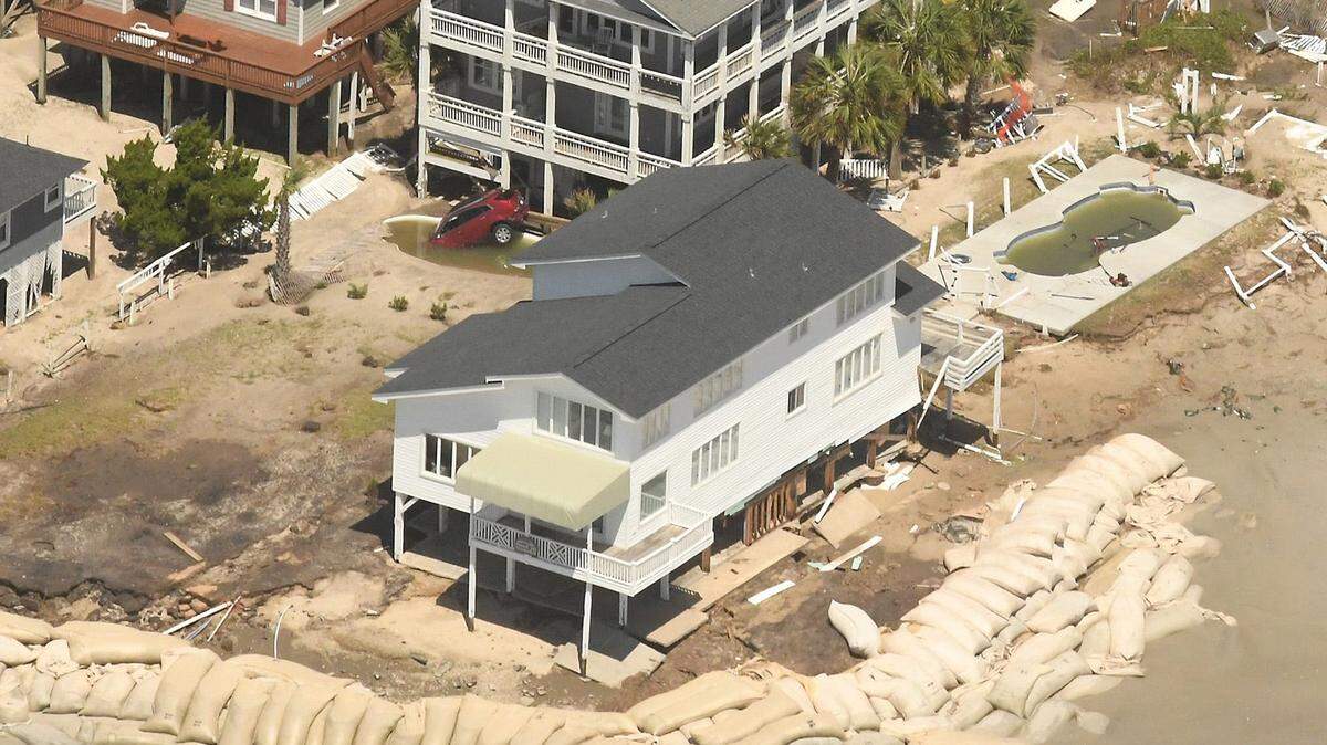
Forecasters said storm surge could reach 4 to 6 feet along the coastline of Hancock and Harrison counties, and 3 to 5 feet in Jackson County. Winds of 39-58 mph and higher gusts. Rainfall will total 4 to 8 inches, with up to 12 inches in some places.
Parts of the Louisiana coast are bracing for up to 10 feet of surge.
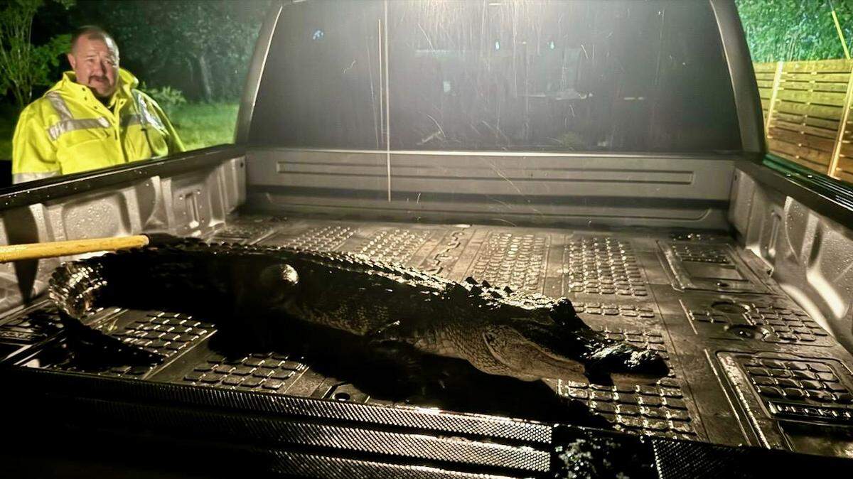
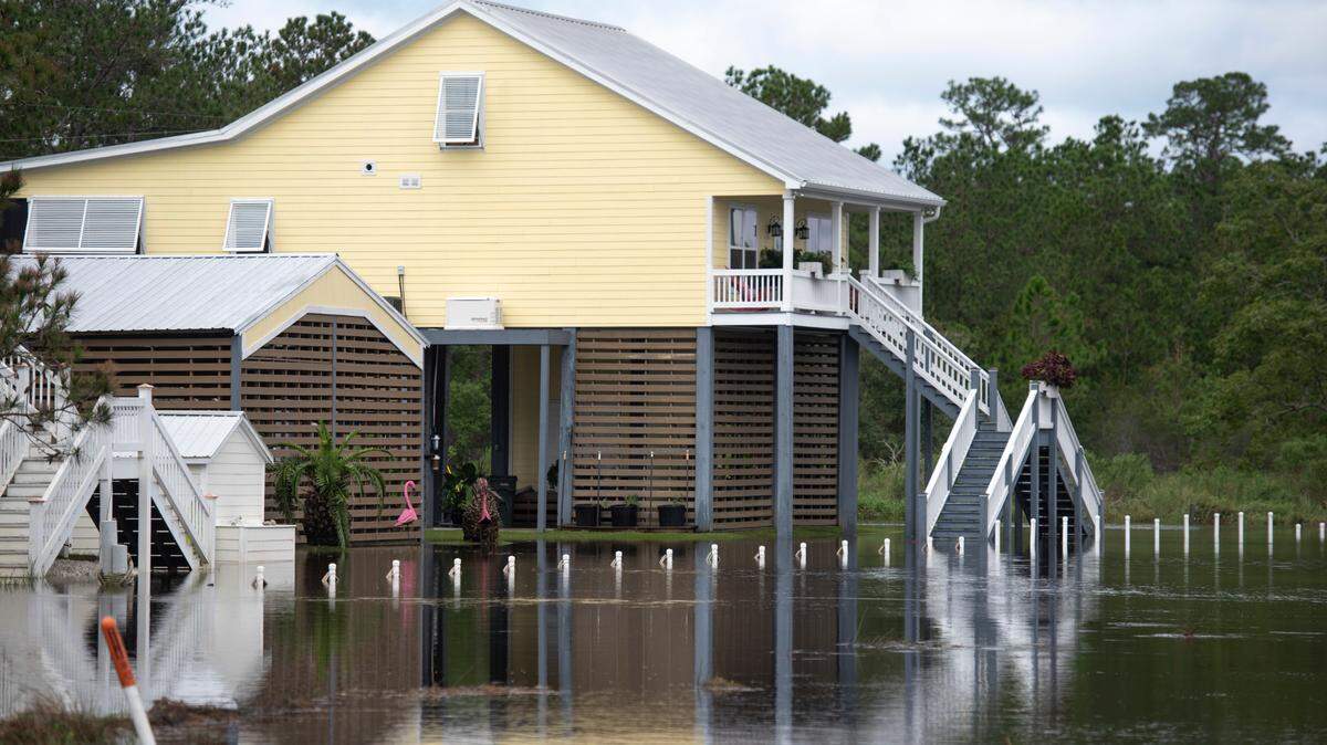
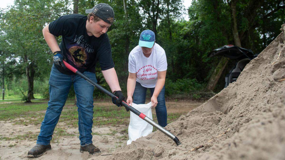
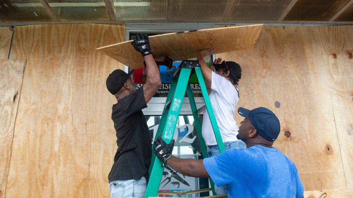
The Mississippi Coast is under tropical storm and storm-surge warnings, a flash-flood warning and a tornado watch. Residents should expect some roadways to be covered in water, especially in Hancock County and along U.S. 90, downed trees and other hazards.
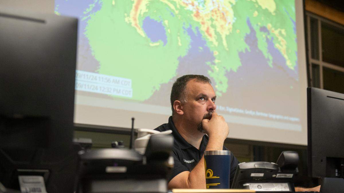
“I would encourage people not to downplay this,” Harrison County Emergency Management Director Matt Stratton said Wednesday afternoon.
This story was originally published September 11, 2024 at 5:52 PM.