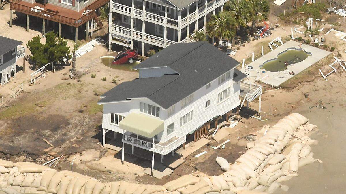
‘Dirty side’ of Francine could hit Mississippi Coast. Here’s why that’s bad

READ MORE
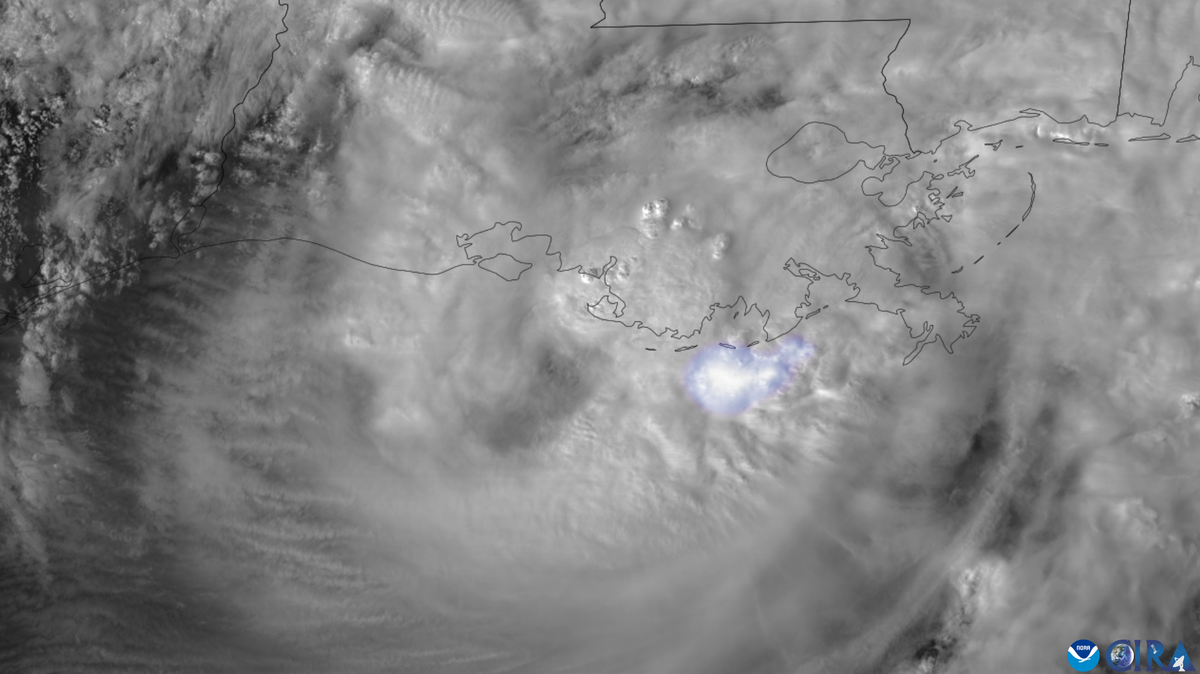
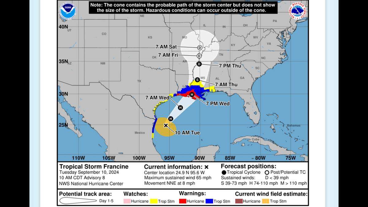
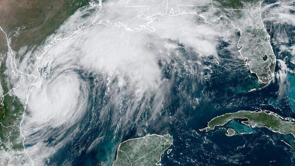
Hurricane Francine
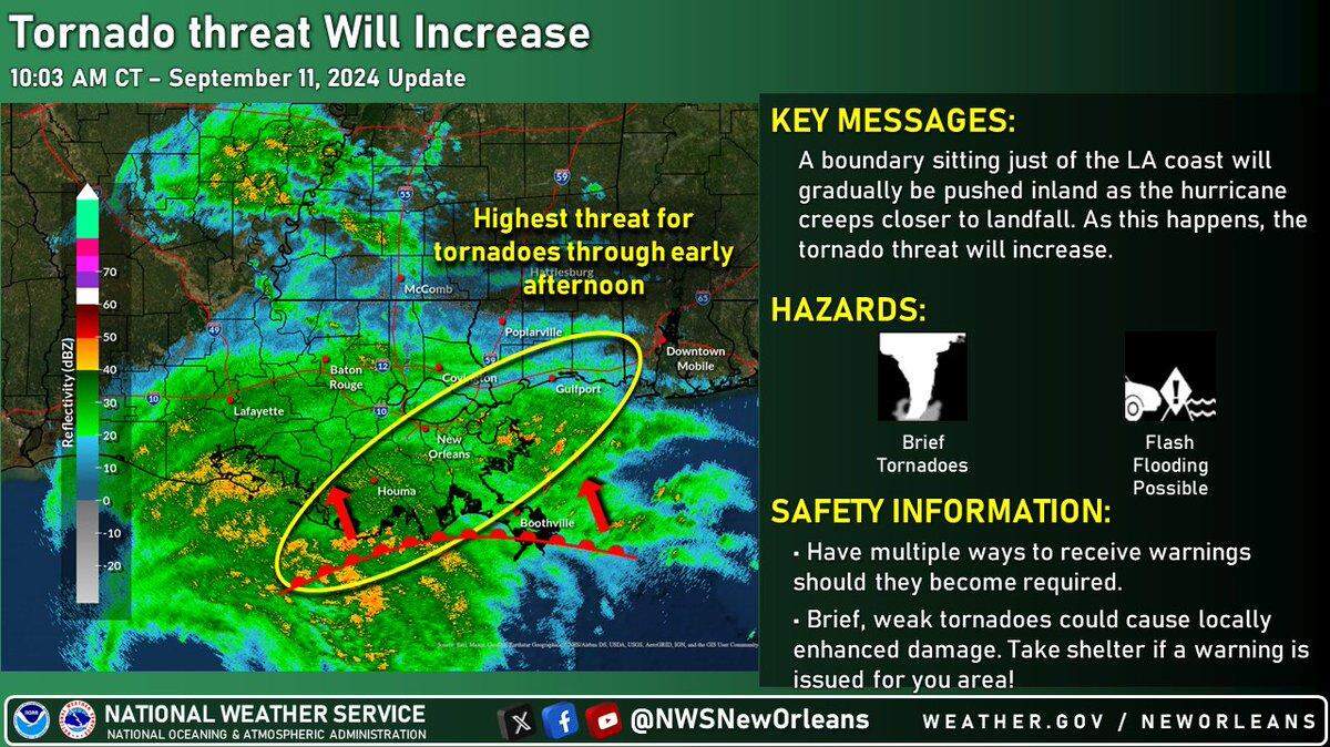
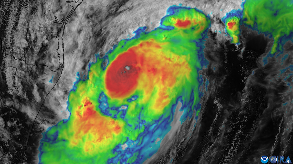
Francine is expected to make landfall Wednesday as a Category 1 hurricane. While the storm appears headed to the Louisiana coast, Southern and coastal Mississippi could see a risk of flash flooding, according to the National Weather Service.
Expand All
The right side of a storm, often referred to as its “dirty side” or the “bad side,” can bring more dangerous weather impacts, storm experts say.
Either way, it’s not where you want to be.
The “dirty side” of a storm is in relation to the direction it’s traveling, according to the National Oceanic and Atmospheric Administration. If it’s moving north, the right side or “bad side” of the storm is to the east.
If it’s moving west, the right side is north.
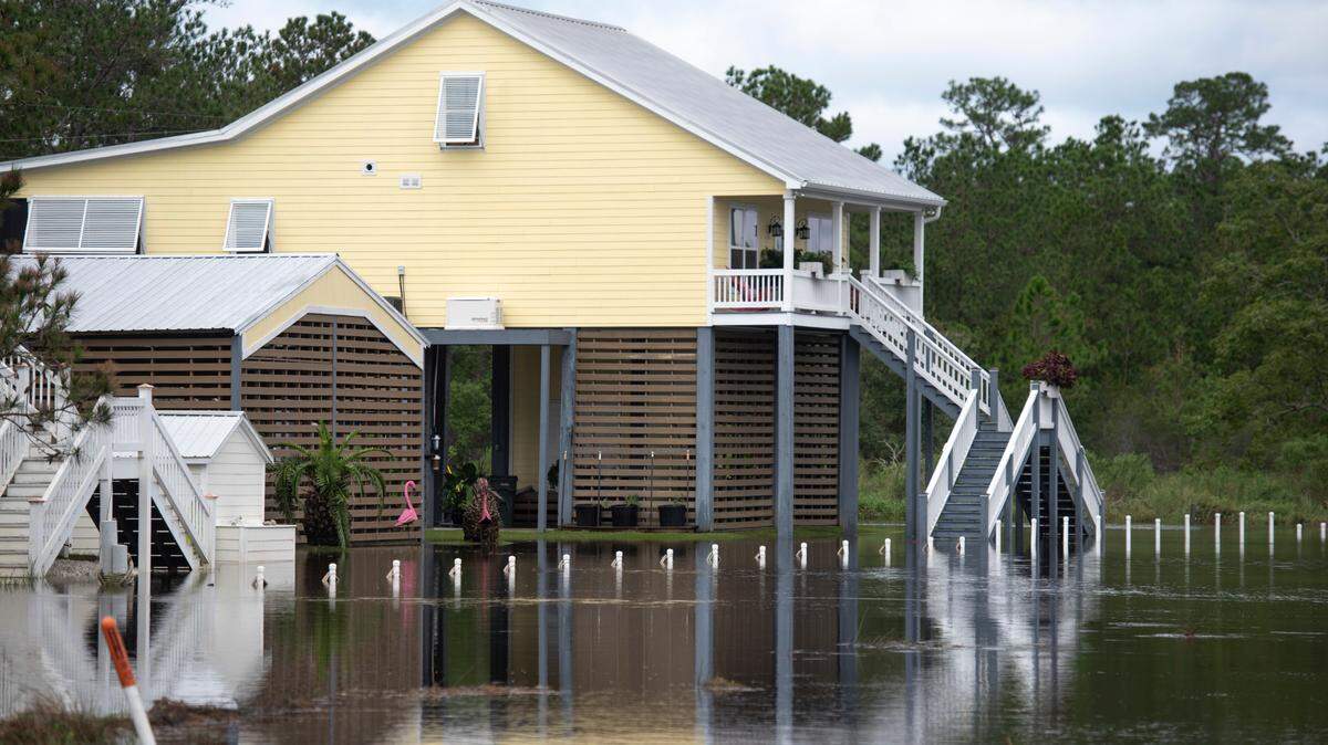
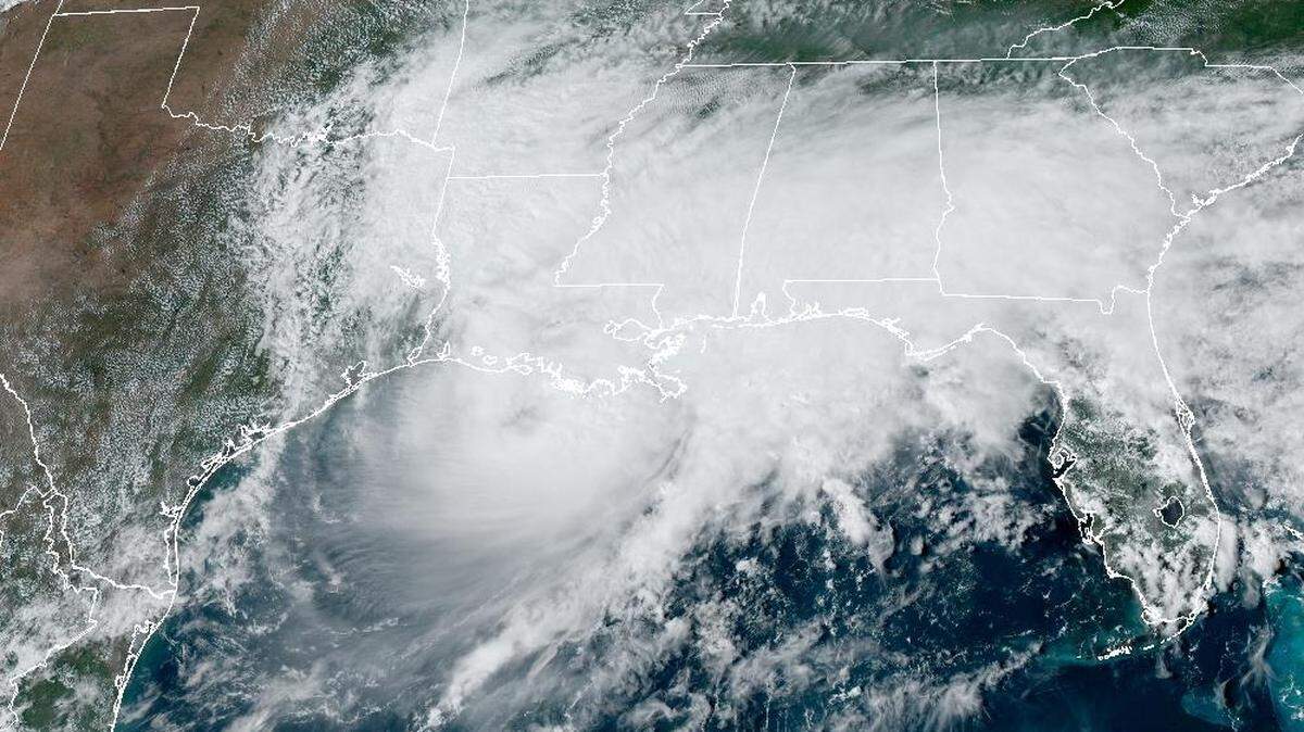
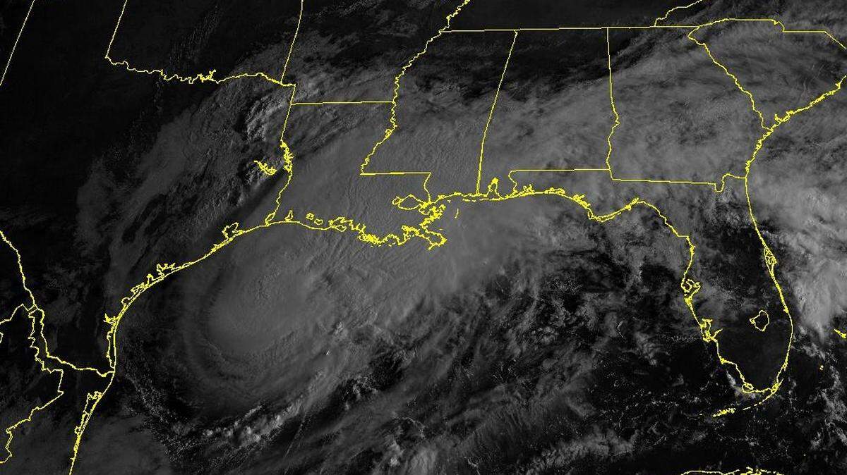
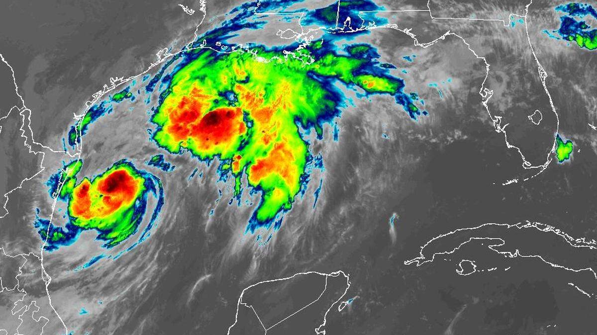
Tropical Storm Francine is creeping toward the U.S. Gulf Coast, forecasts show, and much of the Mississippi Coast could fall on the “dirty side” of the system.
The storm intensified Monday, Sept. 9, and could strengthen into a hurricane before it reaches the northwestern Gulf by mid-week, bringing the risk for “life-threatening storm surge” and ”hurricane-force winds,” the National Hurricane Center said.
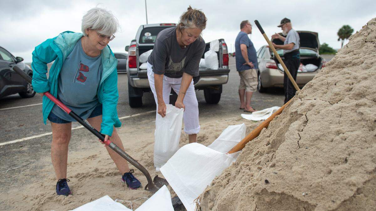
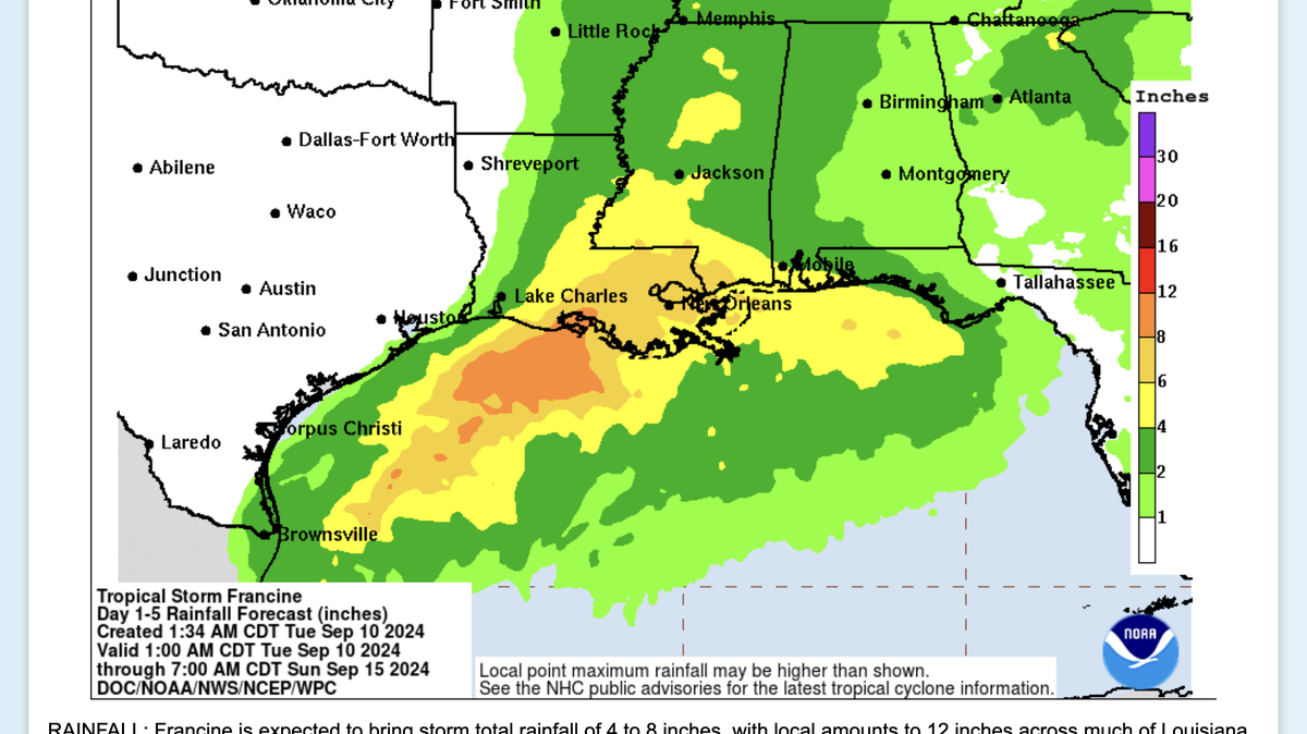
Southern and coastal Mississippi could see “the risk of considerable flash and urban flooding” as the storm dumps heavy rain in the region into Thursday morning, forecasters said.
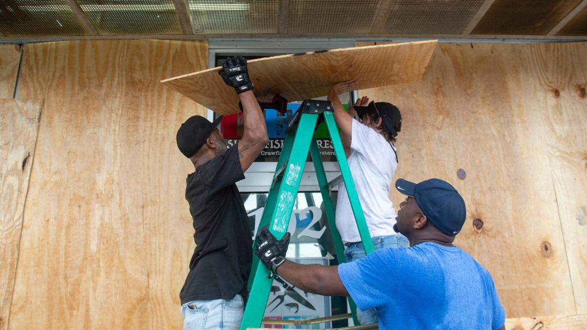
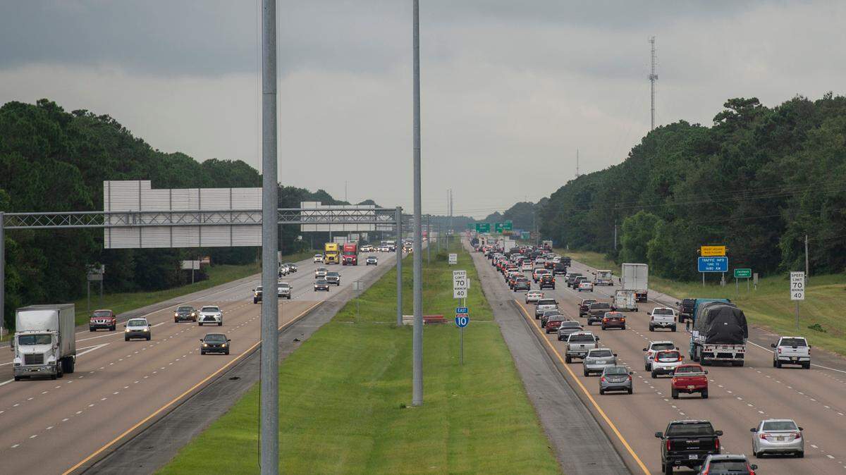
Those in the storm’s path are encouraged to have a hurricane plan in place.

Why is the dirty side worse?
The direction of hurricane winds make the right side of a storm worse, NOAA says.
The winds spiral counterclockwise around the storm’s center in addition to its forward movement. So as the storm moves forward, the winds are moving in the same direction and therefore their speeds are combined.
“For example, a hurricane with 90 mph winds moving at 10 mph would have a 100 mph wind speed on the forward-moving (right) side and 80 mph on the side with the backward motion,” according to NOAA’s website.
“Weather forecast advisories already take this asymmetry into account and, in this case, would state that the highest winds were 100 mph.”

This story was originally published September 9, 2024 at 10:29 AM.