Flash flood warning issued as storms bare down on the Mississippi Coast. What to know.
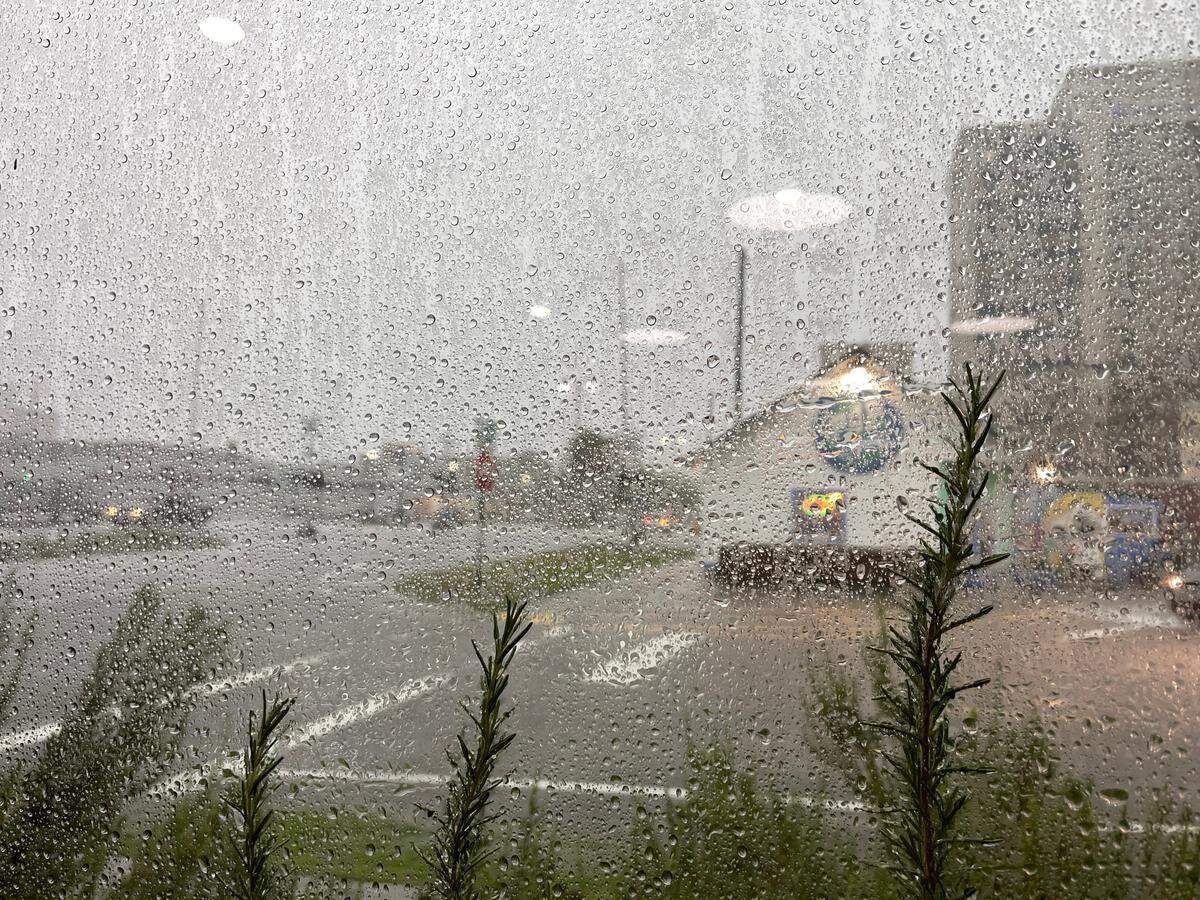
Parts of Harrison and Jackson counties are under a flash flood warning as severe thunderstorms bare down on the Mississippi Coast one day after a tornado devastated parts of Moss Point.
The flash flood warning is in effect until 5 p.m. for east central Harrison County and southwestern Jackson County, according to the National Weather Service in New Orleans.
Much of the Coast, including parts of Hancock County, are also under a severe thunderstorm warning Tuesday afternoon.
As much as 2.5 inches of rain has fallen in affected areas and additional rainfall of up to 3 inches could fall in the next hour, the NWS said at 1:15 p.m.
The flooding can take over roadways, highways, and even affect parts of Interstate 10 and I-110, the NWS said. Flood water could also take over streets in low-lying areas.
These areas will likely experience flash flooding, according to the NWS:
- Gulfport
- Biloxi
- Ocean Springs
- St. Martin
- D’Iberville
- Gulf Hills
- Latimer
- I-10 between mile markers 39 and 49 (Gulfport to Ocean Springs)
- I-110
Multiple wrecks have been reported in the last 15 minutes by the Mississippi Department of Transportation that is causing traffic delays on I-10 near Long Beach and on I-110. Drivers should use extreme caution and try to take alternate routes.
This story was originally published June 20, 2023 at 1:22 PM.