Winter storm sweeping across US will bring severe weather to MS Coast. See the forecast.
A powerful winter storm is expected to bring severe weather to the Gulf Coast region on Wednesday, but South Mississippi won’t see snow like other parts of the U.S.
Heavy snow, strong winds and ice are affecting the Midwest and northern Plains, the National Weather Service said Tuesday night.
The system is expected to reach Louisiana, Mississippi and Alabama later Wednesday and move to the East Coast on Thursday, the NWS predicts.
“Severe thunderstorms, including strong tornadoes and excessive rainfall” are in the forecast. The precipitation could lead to flooding from east Texas to the Florida Panhandle.
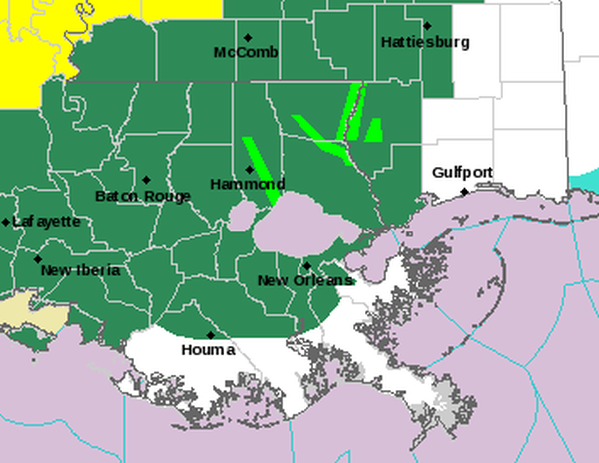
On the Mississippi Coast, Hancock County is already under a flood watch along with New Orleans, Hammond, Baton Rouge and Hattiesburg.
South Mississippi should prepare for severe thunderstorms Wednesday and into Thursday morning, and the system could bring frequent lightning, wind gusts and hail, the NWS said. Tornadoes are also possible in the Gulfport-Biloxi metro.
“The associated heavy rain will create numerous areas of flash flooding. Furthermore, many streams may flood, potentially affecting larger rivers,” the NWS said.
In anticipation of severe weather, the Bay Waveland School District announced class would be dismissed early on Wednesday.
- Waveland Elementary and North Bay Elementary will dismiss at 11:45 a.m.
- Bay High will dismiss at 12:30 p.m.
- Bay Waveland Middle School will dismiss as 12:35 p.m.