Chance for tornadoes, hail on the MS Coast increase overnight. Here’s the forecast.
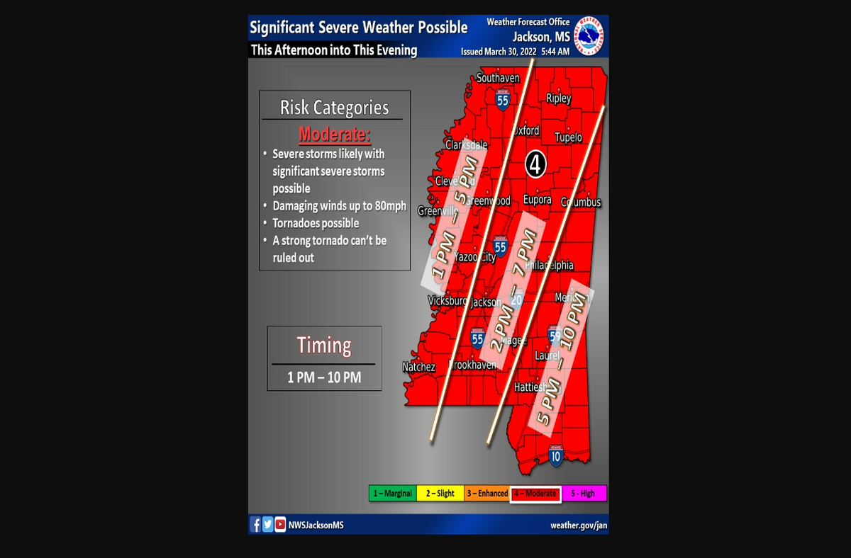
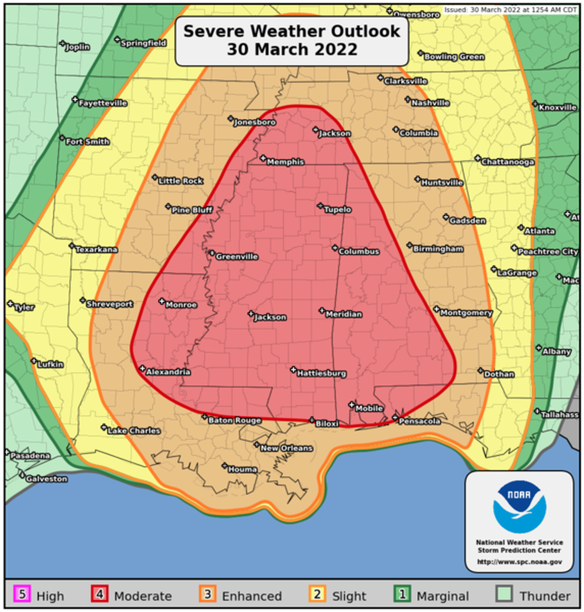
The National Weather Service issued several severe weather warnings for Wednesday through Thursday evening. Damaging winds, hail and tornadoes are all possible.
The worst of the weather will be felt on the Coast between 5 p.m. and 10 p.m., the NWS said.
A high wind warning is in effect now through 9 p.m., then it will reduce to a wind advisory through 1 a.m. across the Coast, including Hancock, Harrison and Jackson counties.
According to the Mississippi Department of Transportation, high winds can cause as much damage as tornadoes. Do not wait for tornado warnings to take precautions.
Expect south winds up to 45 mph, with gusts up to 80 mph until about 9 p.m., when winds will decrease to 15 to 25 mph, with gusts of 40 mph.
“Damaging winds will blow down trees and power lines, Power outages are expected. Travel will be difficult, especially for high profile vehicles,” according to NWS. The severe weather outlook also warned “Several strong tornadoes (EF2 and above) appear likely.”
Take these precautions during the wind warnings and advisories:
Avoid being outside in forested areas and around trees and branches.
If possible, remain in the lower levels of your home during the windstorm and avoid windows.
Use caution if you must drive.
Portions of southeast Mississippi are also on flood advisories Wednesday through 1 a.m. Thursday. Though road closures are not expected, keep an eye out for flooded lots, parks and roads. Water levels could reach up to two feet above normal.
MDOT recommends staying off the roads Wednesday night. If that is not possible take these precautions:
Tune in for weather updates and tornado warnings
Don’t use cruise control
Distance yourself from other cars
If you have your windshield wipers on, you should also have your headlights on
Find sturdy shelter or find low areas like ditches in high winds
Never drive through a flooded area
If you hydroplane, let off the accelerator and steer gently in the direction you wish to go. Do not break or steer abruptly
Mississippi Gulf Coast Community College is closing all South Mississippi campuses at 5 p.m. and canceling night classes in anticipation of severe weather.
This story was originally published March 30, 2022 at 11:37 AM.