Strong winds and high tide could bring flooding to the MS Coast. Here’s the forecast.
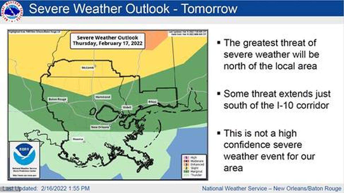
The Mississippi Coast could see potentially severe weather, including flood-causing high tide and thunderstorms starting Wednesday night and continuing into Thursday, according to the National Weather Service.
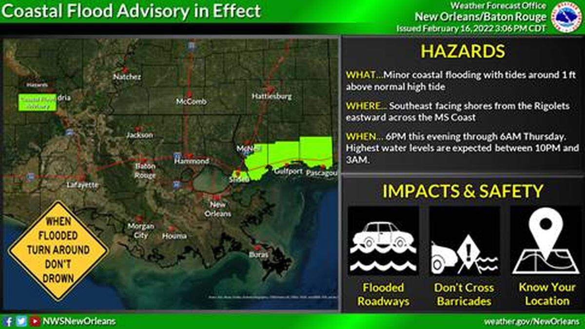
A coastal flood advisory will begin at 6 p.m. Wednesday evening for portions of South Mississippi and southeast Louisiana, the Harrison County Emergency Management Department said in a press release.
The National Weather Service said combination of strong southeasterly winds and high tide and could lead to some coastal flooding of low-lying areas, especially along southeast facing shores that are east of the Mississippi River.
Thunderstorms that could be severe will affect the area on Thursday from around 6 p.m. to 10 p.m. Less than an inch of rainfall is forecast, but water could still collect in low-lying areas and areas with poor drainage, the NWS said.
The storms could bring powerful wind gusts up to 60 mph that could damage trees and power lines. Hail and tornadoes are also possible.
Gusty winds could start early in the day on Thursday, with wind speeds of up to 40 mph, the NWS said.